XAVIER DELORY: URBAN FORMS 2010 - 2013


XAVIER DELORY: URBAN FORMS 2010 - 2013


scopio aboveground: city (h. mention)

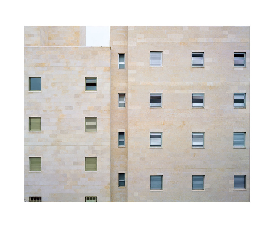
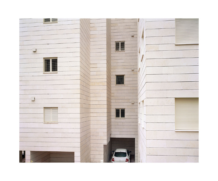
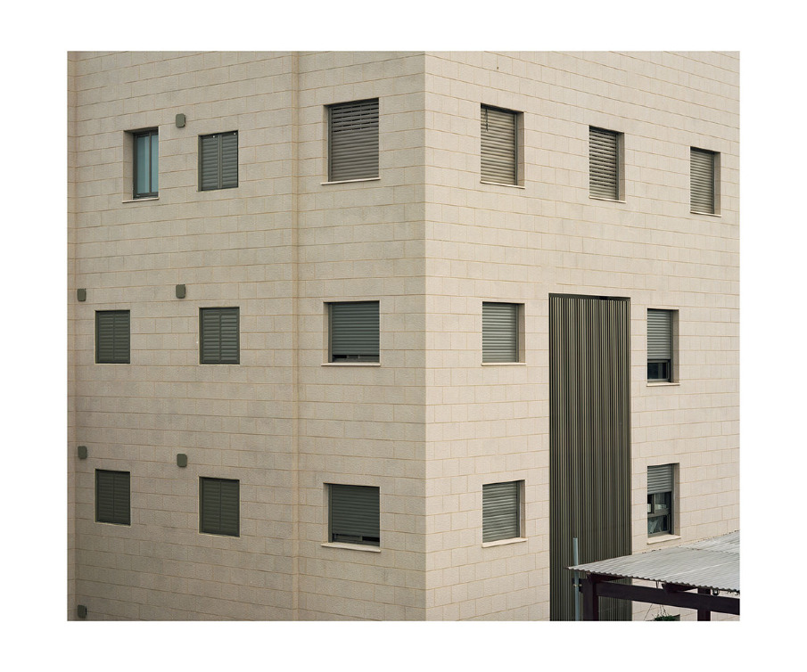
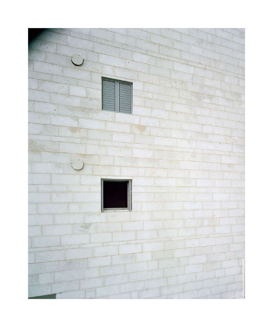
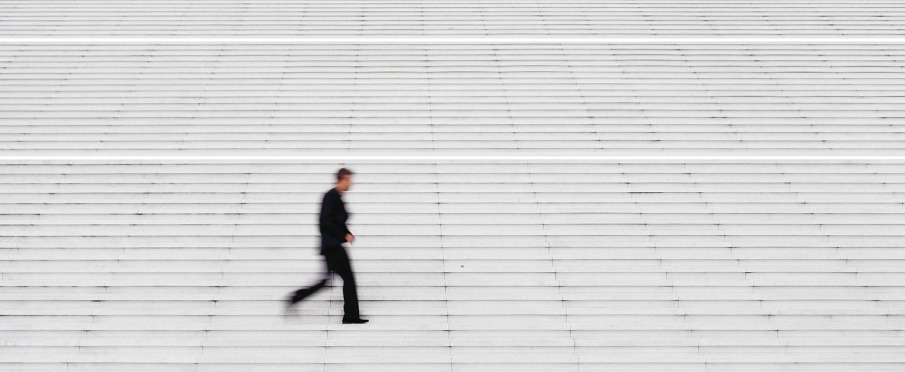
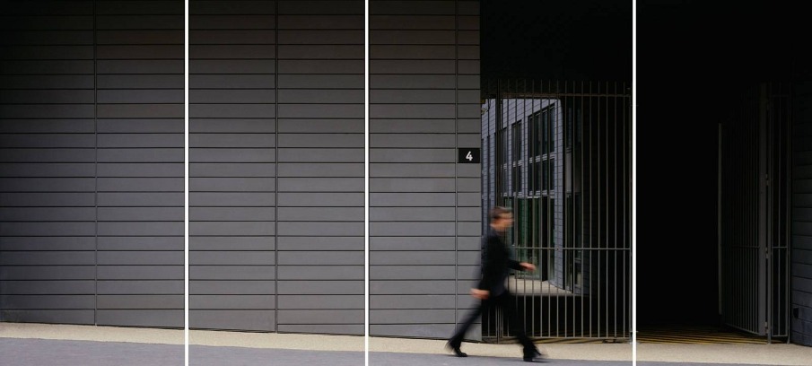
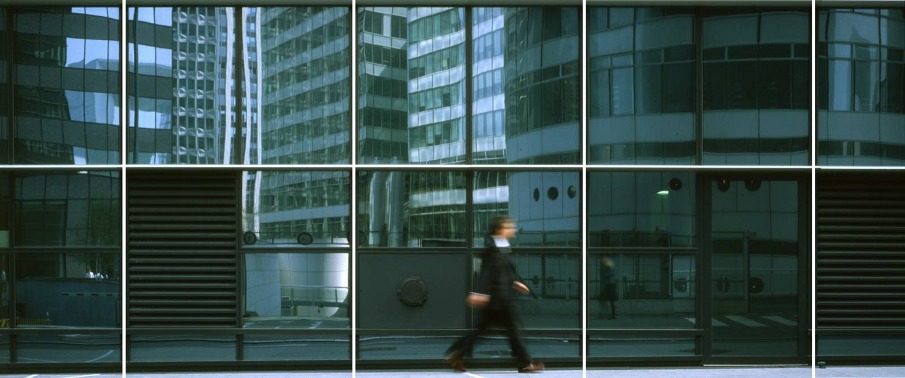
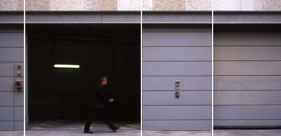
The aim of this work (in progress) is to study the recurrent characteristics of modern cities, with Brussels as first field of research. This work will comprise several chapters: ‘Bare d'îlot’ (a reflection about the urban block, the framework of the historic city, its break-up and its replacement by residential and office towers), ‘Dom-ino’ (this name is a wink at ‘Le Corbusiers’ concept. Critic of a functionnal and profitable architecture, symbol of vanity and fragility), ‘Façade libre’ (a reflection about façadism, the ‘Disneyland’ city),…

Technical notes:
Canon EOS 5D Mark II, TS-E 24mm f/3.5L II (Shift Lenses)
Lambda print mounted on aluminium thickness 1 mm (size +- 105*70cm)


Contact:
info@xavierdelory.be


ANDRZEJ MACIEJEWSKI: AFTER NOTMAN


ANDRZEJ MACIEJEWSKI: AFTER NOTMAN

scopio aboveground: city (winner)

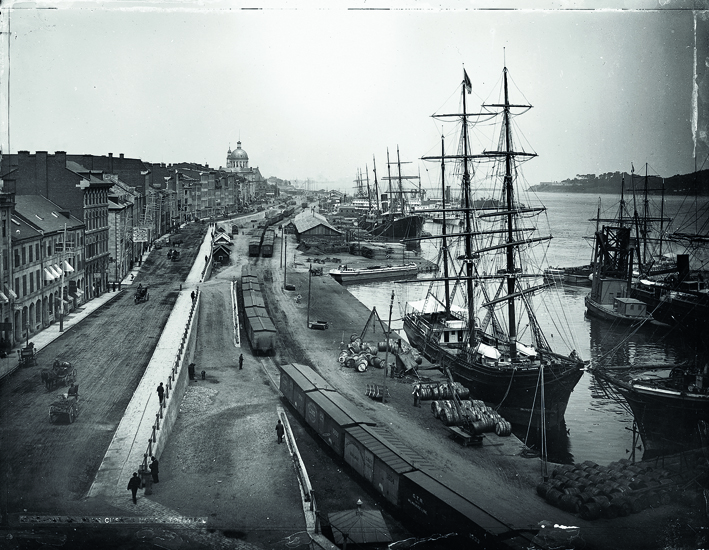
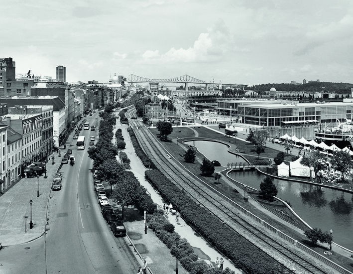
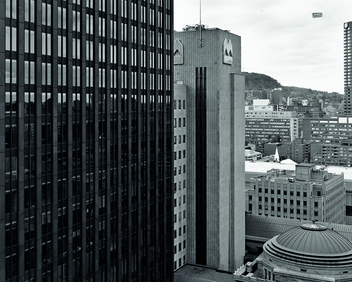
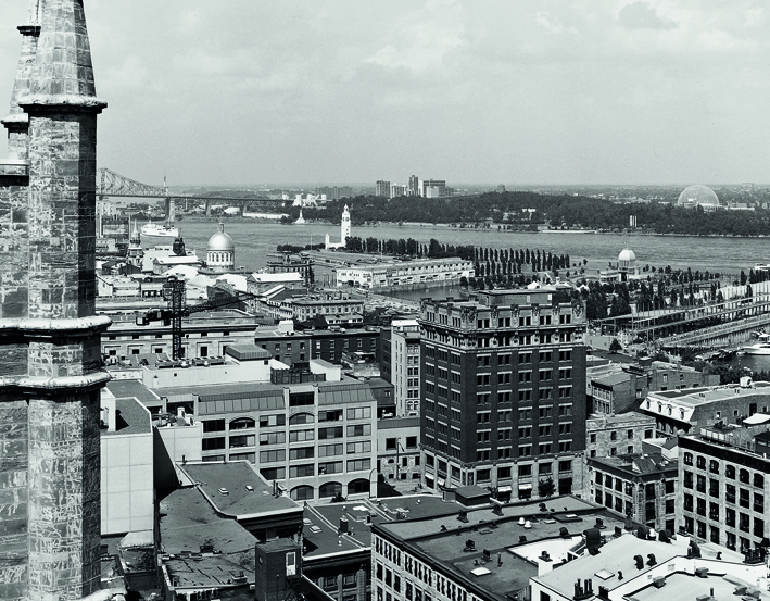
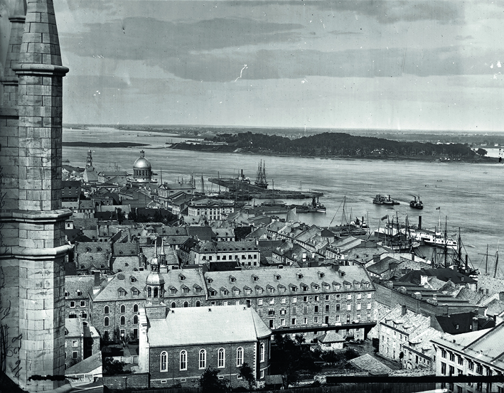
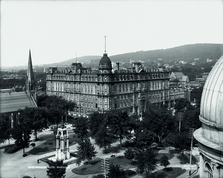
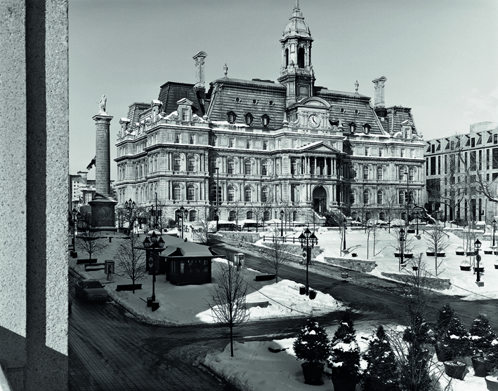
"After Notman" is a re-photographic project. I have chosen thirty four of iconic19th century Montreal (Canada) views taken by William Notman and I photographed the same places again, one hundred years later (1999-2001), creating true replicas of the original pictures by use of exactly the same vantage point and capturing the same moment of the year and time of the day in order to reproduce the same angle of light and shadow. This is why the images should be displayed in pairs, an old photograph by Notman Studio together with my re-photograph. The project was exibited in the McCord Museum of Canadian History, in Montreal, in 2004. The exhibition then travelled to several other venues and in 2010 was presented as an outdoor exhibition at one of the main streets of Montreal. It has been included in the McCord Museum's "Keys to History" permanent online program, under the title "Urban life through two lenses". It has also been placed in the Virtual Museum of Canada. The book "After Notman:Montreal Views-A Century Apart" was published by Firefly in 2003, and made the "Globe and Mail" bestsellers list for several weeks. There is a hope that the book will be re-published in 2011. 

Images – titles list:
01. Montreal Harbour, Looking East from the Archeological Museum
William Notman, 1884 / Andrzej Maciejewski, 2000 
02. Looking North-West from Notre-Dame Church, Montreal, QC
William Notman, 1872 /Andrzej Maciejewski, 1999
03. View from Notre Dame Church Looking East, Montreal, QC
William Notman, 1863 / Andrzej Maciejewski, 2000
04. Jacques Cartier Square, Montreal, QC
William Notman, ca 1890 / Andrzej Maciejewski, 2001
05. The Windsor Hotel and Place du Canada, Montreal, QC
William Notman, 1897 / Andrzej Maciejewski, 1999


Contact
am@klotzekstudio.com


MATAN ASHENAZY: DAILY RANGE


MATAN ASHENAZY: DAILY RANGE

scopio aboveground: territory

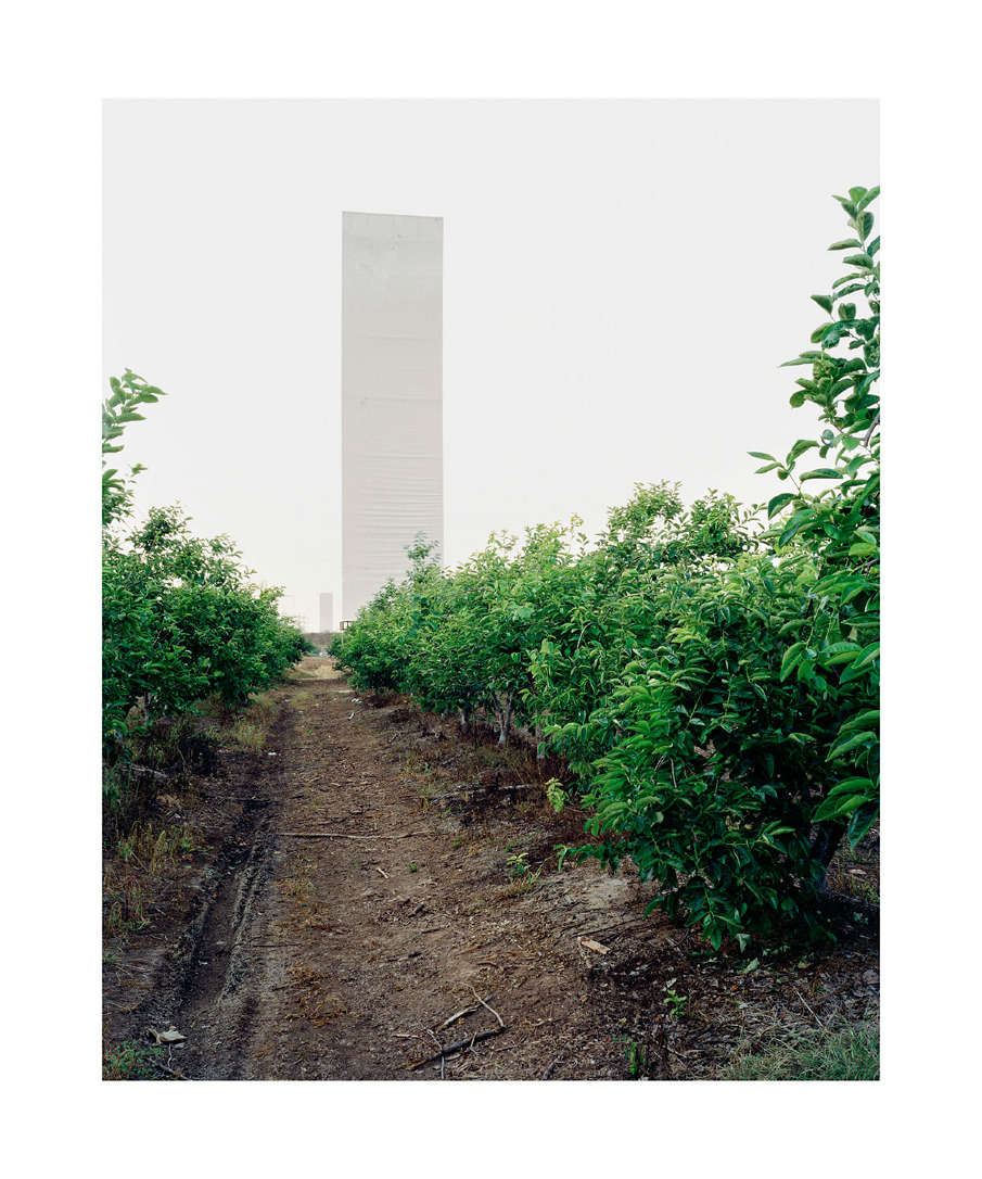
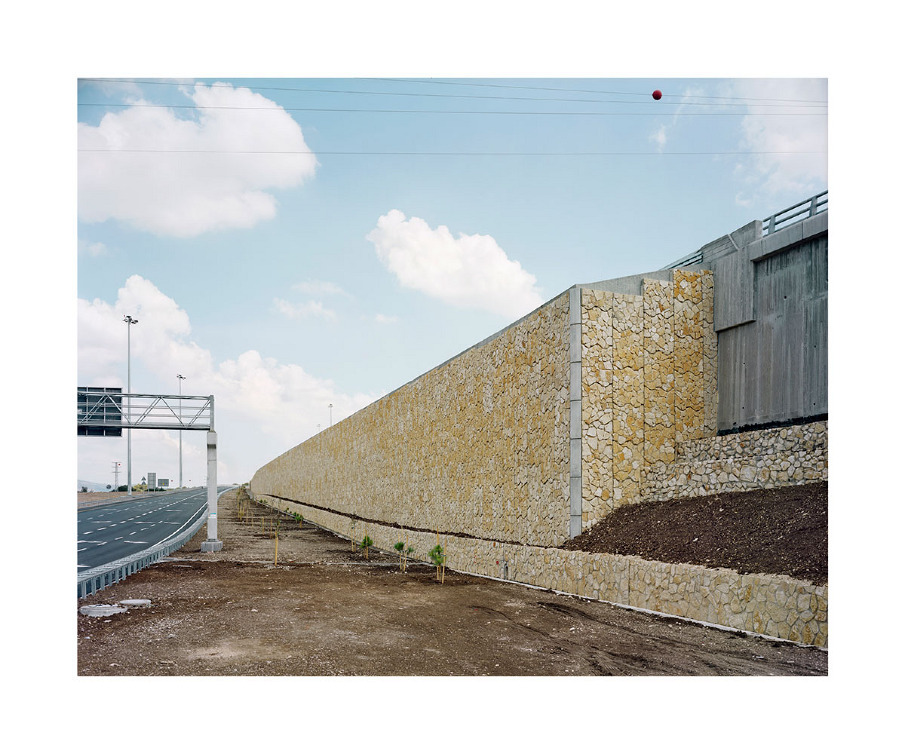
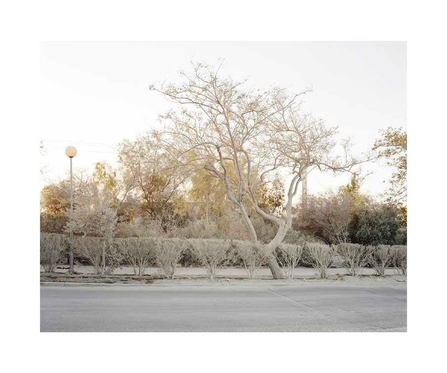
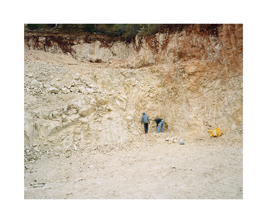
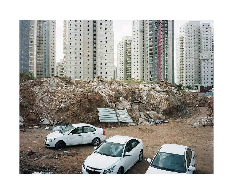
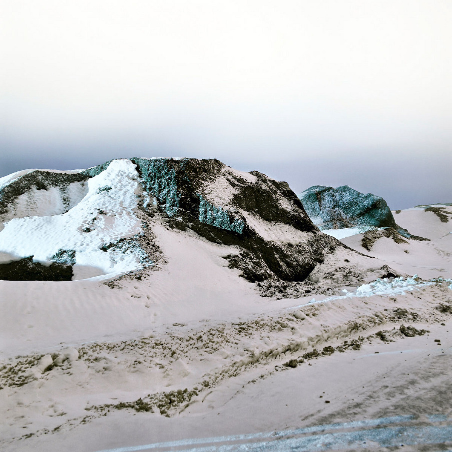
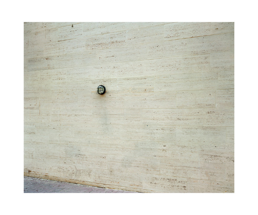
This body of work includes color photographs done in Israel with an 8x10/4x5 plate camera between 2009-2012. The images deal with confined space within the natural environment aesthetically, politically and construct wise. A feeling of being activated and controlled around the Israeli space and laws as a citizen drove me to photograph objects and views that function as backgrounds, looking at the mundane and everyday within this unique and rudimentary landscape. 
Depicting the effects of human behavior in the landscape, and by observing outside of the 'event', the photographs isolate the objects from the narrative of time, undermining context and scale. These images are made in the void that exists between military and civilian life. These places are found both in the cities and the countryside, and the photographs investigate how the boundaries between civilian and military have become blurred.
The fragile landscape and the brutalist architecture create a monotone landscape within what was a vibrant place. The use of ecru' - beige colors indicate ways of looking and searching monochrome grey within color photography, as a tool for representing these fictionalized environments and using photography as a medium to give place for thought.
Ultimately the devices being used in Israel are being used all around the world to less or greater degree and it is this political use of landscape that interests me and is currently the theme of my work. Although the work depicts a specific place, the research is about policing landscapes and controlling spaces everywhere.


Contact
matanashkenazy@gmail.com


JOSÉ FILIPE CASTRO DOS SANTOS: ESPAÇOS VAZIOS


JOSÉ FILIPE CASTRO DOS SANTOS: ESPAÇOS VAZIOS

scopio aboveground: city

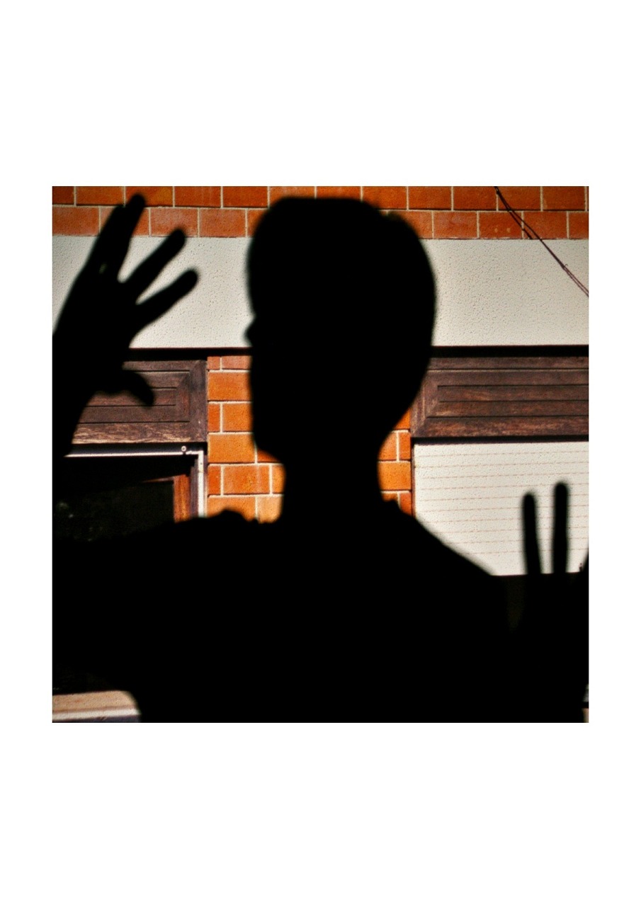
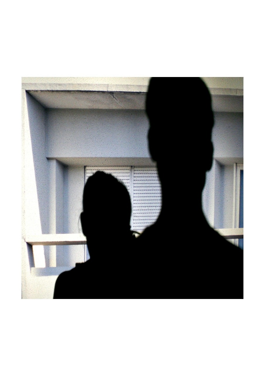
Espaços Vazios é um projecto que pretende desconstruir o conceito de “vazio” aliado ao espaço. O que poderá ser encontrado no “vazio” e o que leva o Homem a definir algo como sendo “vazio” e não preenchido? Cheio? (Cheio de nada?).
Antes de mais, é primordial definir o conceito de vazio. Como tal, no dicionário poderemos encontrar variadíssimas formas de o compreender sendo a definição mais comum: 

vazio - adjectivo vazio - espaço que não possui nada no seu interior.

Mas até que ponto é exacta esta definição? Perceber o espaço será sempre o primeiro começo para encontrar algo que o defina. Ou seja, sempre que nos encontramos num determinado local temos a necessidade de o compreender, de o sentir, de o assimilar de forma a que consigamos conectar com o meio que nos envolve. Mas a sua percepção ocorre sempre através de vários elementos, normalmente elementos que nos estimulam visualmente, como as próprias pessoas que circulam neles, candeeiros de rua, animais, bancos, nuvens de poeiras, sombras… e tantos outros elementos que dele poderão fazer parte. Ou seja, a percepção que normalmente nós identificamos num determinado espaço passa pela absorção dos vários elementos que dele fazem parte, sendo eles elementos temporários ou permanentes, como tal, a relação que temos com o espaço parte sempre dos elementos que o constituem sendo que primeiro temos acesso aos elementos que o constituem e, só depois, é que temos acesso ao espaço.
Contudo, para tal acesso, é sempre necessário entrar no espaço através de um processo de abstracção. Isto é, entrar nele e desobstruir os elementos que ele contém para ter, por fim, uma concepção clara do que ele realmente é.
Se bem que, é importante referir, que o espaço é sempre algo definido por características de distância e de localização: onde ele se encontra, como lá chegar, e, finalmente, quando lá nos encontramos. Portanto, o espaço como sendo algo obtido pela abstracção dos elementos que ele contém e, importante, pela forma de como ele se encontra, isto porque, ele encontra-se sempre definido por certos limites físicos que nos levam a construir e a delimitá-lo. Para tal, temos, como já foi referido, a percepção do espaço pela sua abstracção e pela captação dos sentidos sobre o mesmo. Sendo que para desenvolver tais capacidades é necessário aliar todas as percepções que obtivemos sobre o mesmo e, após tal, conjugá-las através do raciocínio inclusive que este raciocínio partirá sempre de uma observação/percepção/abstracção pessoal e única, logo significa que todos os humanos adquirem diferentes resultados devido à forma de como cada um percepciona aquilo que o rodeia (sendo que factores emocionais, físicos e psicológicos irão influenciar o raciocínio de cada um).
O espaço é, por fim, algo de carácter indestrutível. Existe para que algo exista sobre ele na mesma medida em que se afirma que se algo não possuir o seu espaço para se situar é porque afinal não existe. Como tal, é sobre esta ideia (“abstracta”) do espaço que existe e não-existe que resiste o vazio. O vazio como sendo o expoente máximo da existência do nada e da própria existência do espaço. Isto é, pela necessidade que temos em retirar os elementos que “vivem” sobre o espaço de forma a chegarmos até ele. Logo, as pessoas que “vivem” sobre os espaços, os candeeiros de rua, animais, bancos, nuvens de poeiras, sombras… serão sempre elementos que, efémeros, que criam o meio onde se encontram… que mais tarde darão lugar a outros elementos que, consecutivamente, irão criar novas formas de espaço e, como resultado, uma nova perspectiva de vazio. Isto, sempre, após a abstracção de tudo o que o espaço contém, inclusive nós, humanos, que nos desprovemos de identidade, de forma… para dar lugar ao vazio.
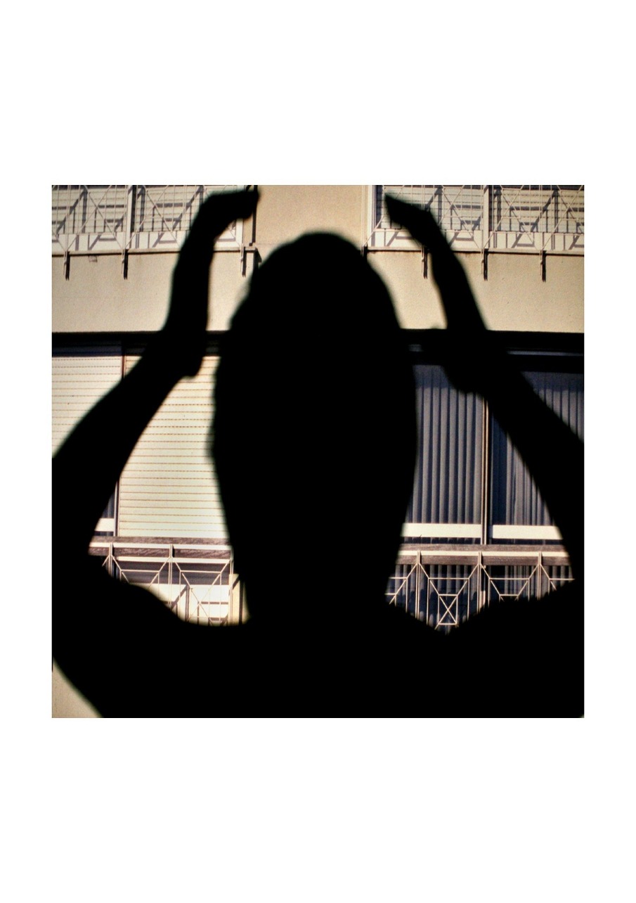
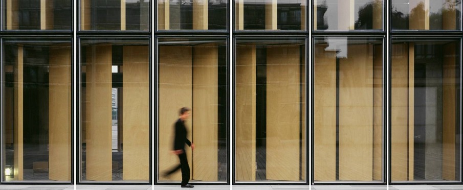
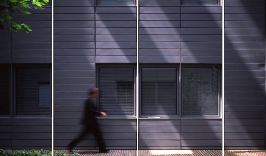
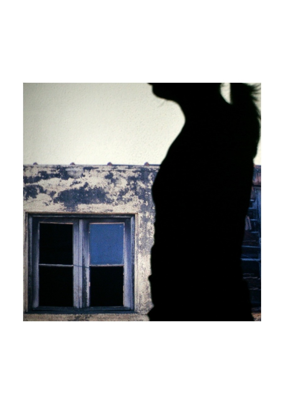
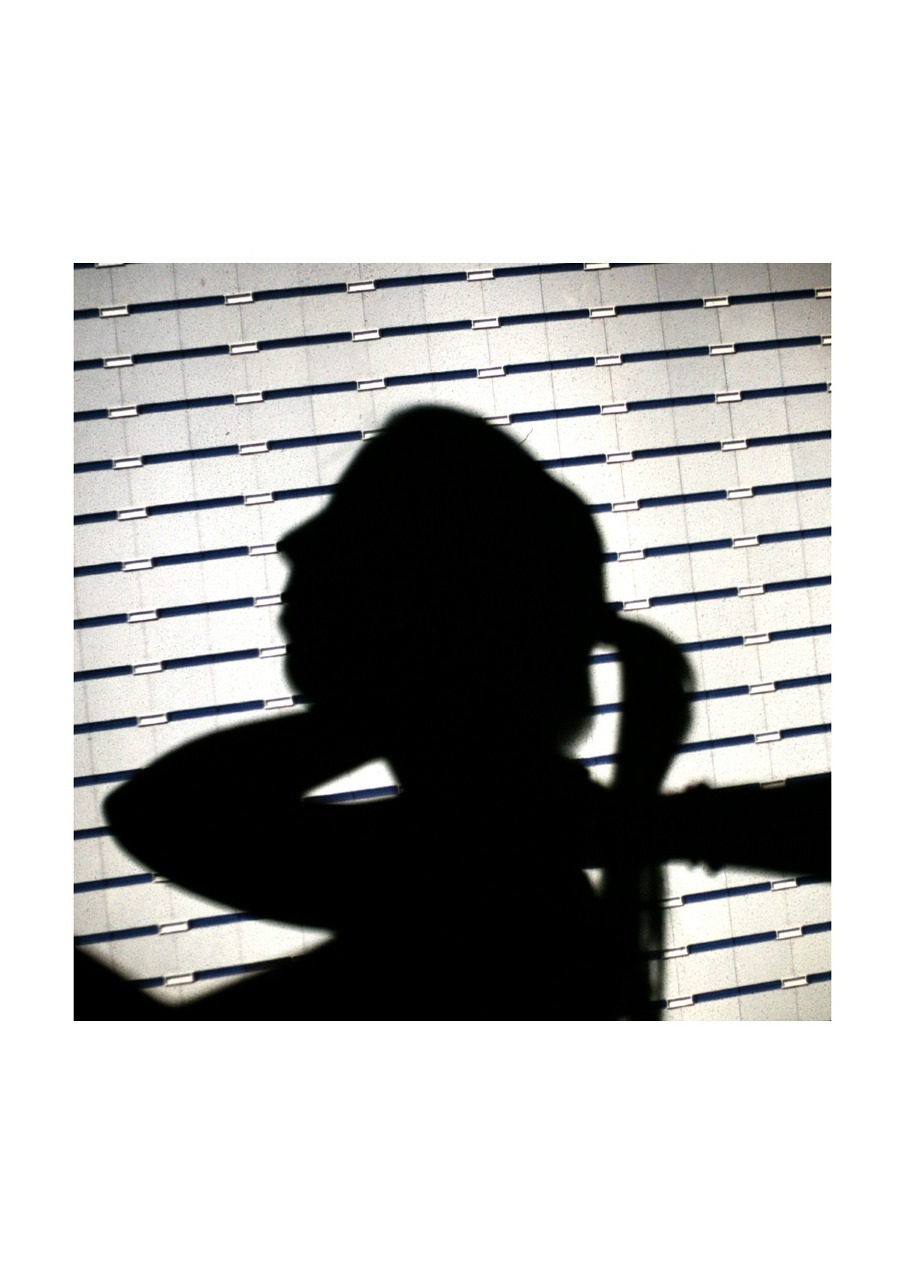
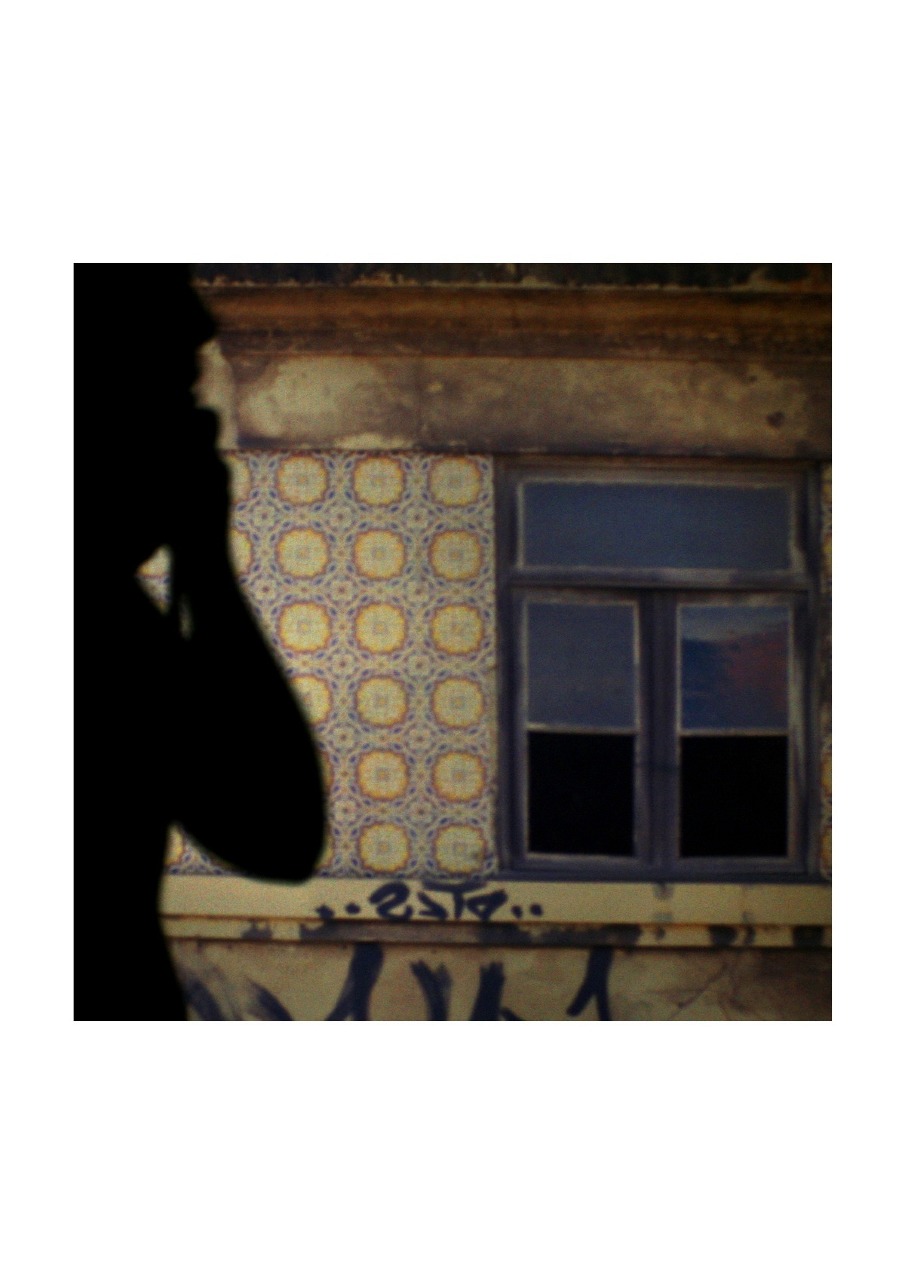
Para a representação do projecto optei por fotografar, com uma câmara digital, fachadas de edifícios: procurando linhas rectas, jogos de sombras, geométricas e simétricas de forma a evidenciar o lado mecânico, pouco personalizado e orgânico das construções. Após tal, projectei as imagens sobre uma tela e coloquei pessoas em frente dessa mesma projecção para a construção das imagens finais.
As imagens finais, referentes ao projecto, explicam-se pela forma de como as fachadas dos edifícios limitam o espaço que nos rodeia e pela forma efémera que eles próprios representam. Assim como as próprias pessoas que neles se encontram, passam, cruzam… também elas efémeras no espaço… as suas sombras coladas às limitações do espaço e a ausência de identidade projecta o vazio que pretendo alcançar: a desconstrução daquilo que vemos e alcançar a forma mais singular e básica - o espaço - e só aí nos deparamos com o vazio.
Em Espaços Vazios terei que salientar que este projecto está sustentado pela abordagem a diferentes tipos de fachadas. Isto porque as fachadas (quer de prédios, edifícios, casas…) representam um limite entre algo. Algo esse, o espaço e, simultaneamente, o próprio vazio que reside nele. 
Havemos sempre de encontrar diferentes formas de estado do próprio espaço, isto porque os limites que o definem podem alterar-se, consecutivamente, o vazio que nele reside.
Contudo, para fazer tais observações, é necessário existir diferentes processos sendo um primeiro sensorial (a captação do espaço através dos sentidos) e um segundo de raciocínio. Este processo resulta na concepção que atribuímos a um determinado local, espaço e, obviamente, do vazio existente nele. Mas, o vazio, encontra-se pela absorção de todos os elementos que residem num determinado local sendo elementos temporários (humanos, poeiras, fumos, sombras…) ou permanentes (bancos, estátuas…).


Technical Notes
Fotografia Analógica - slides
Fotografia Digital (cores)
PRAKTICA - MTL 5 
Objectivas: 50mm - f:1.8 | 200mm - f:3.5
CANON EOS - 400D
Objectiva: 18-55mm f:5.6

Contact
josesantosfotografia@hotmail.com


JOANA LOBINHO: THE PLAYGROUND


JOANA LOBINHO: THE PLAYGROUND

scopio aboveground: city

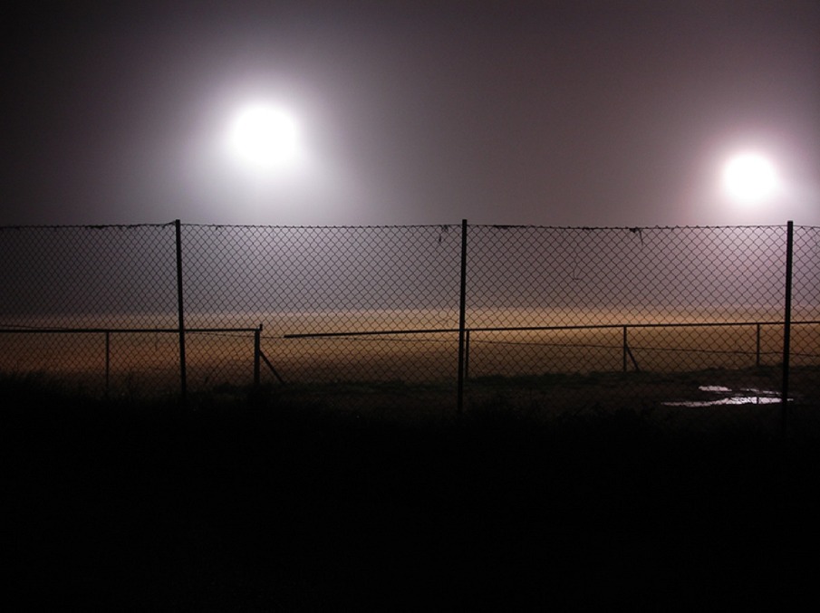
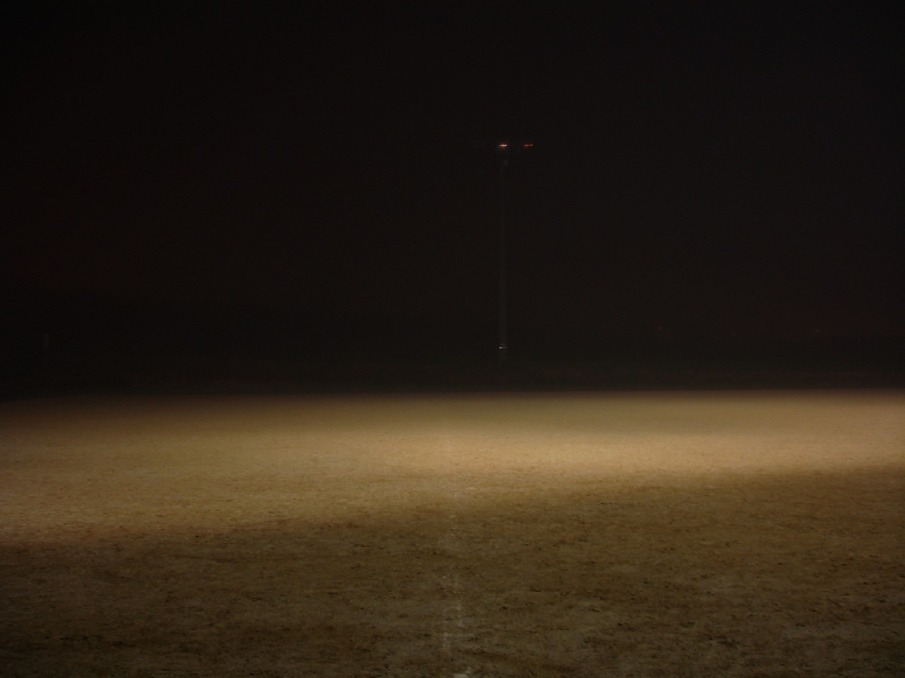
A cidade é uma extensão de espaços, edifícios, conexões, serviços e pessoas. De entre os equipamentos colectivos que definem uma cidade enconcontram-se os parques, zonas onde o impulso económico e expansivo da cidade é suspenso e se permite a vegetação, o lazer, a apropriação lúdica do espaço público e a pausa, a predisposição para as relações humanas.
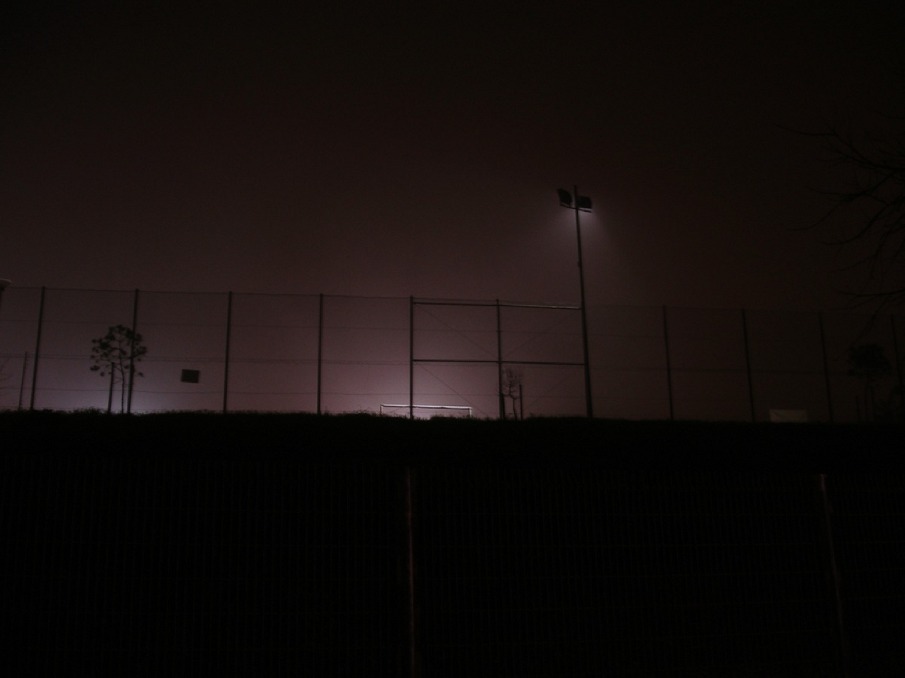
The Playground constitui-se como um conjunto de quatro imagens de um campo de jogos num cenário nocturno, isolado e deserto, onde se assiste também a um momento de suspensão de toda a actividade que caracteriza este espaço. De certa forma torna-se numa metáfora para assinalar a falta e a ausência, relembrar a objectificação e desertificação que podem ser sintomáticos de uma cidade e onde as pessoas serão os potenciais agentes activadores.

The Playground reflecte uma visão possível de encarar a cidade por oposição à actividade frenética que lhe é associada. Cidade como espaço que só faz sentido se for pensado com e para as pessoas.

Technical notes
The Playground
2011
fotografia digital
dimensões ajustáveis


Contact
joana.lobinho@gmail.com


ANITA CRUZ-EBERHARD: FROM THE SERIES CONES


ANITA CRUZ-EBERHARD: FROM THE SERIES CONES

scopio aboveground: city

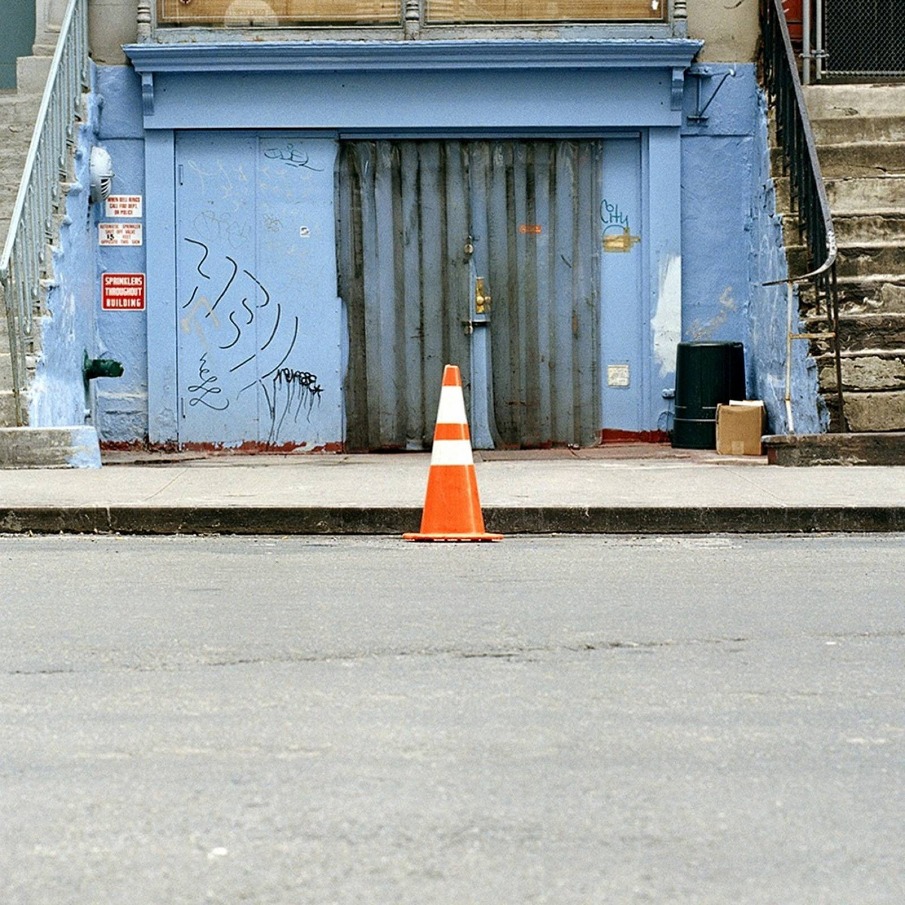
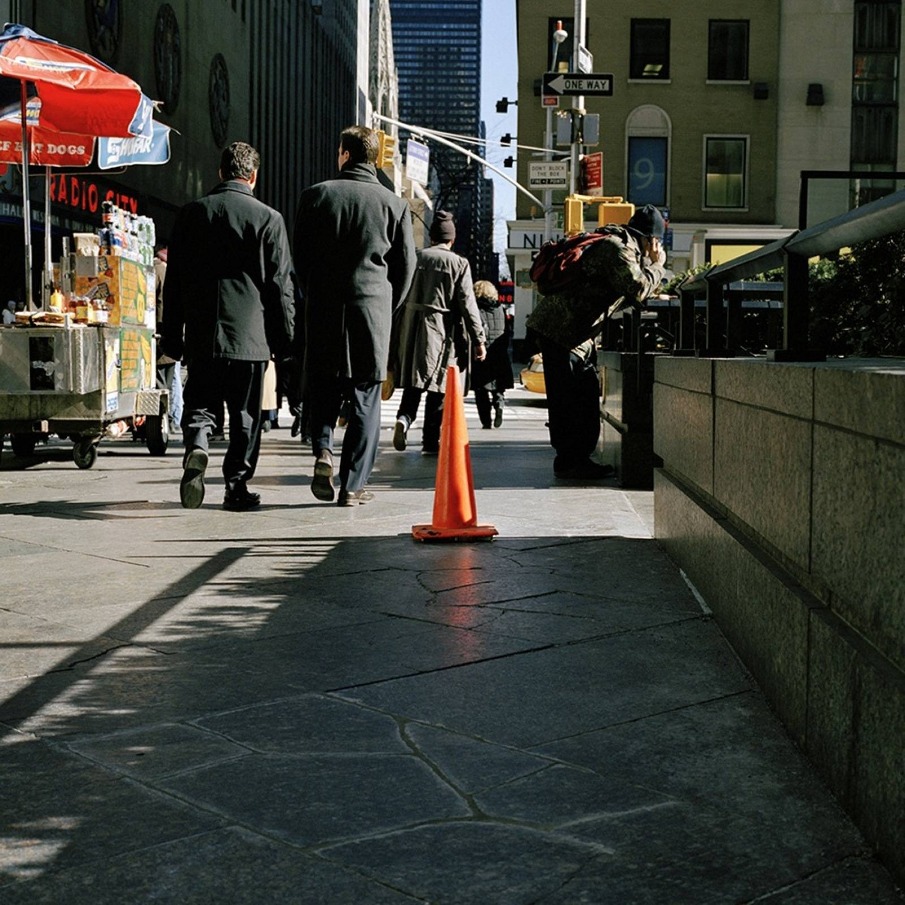
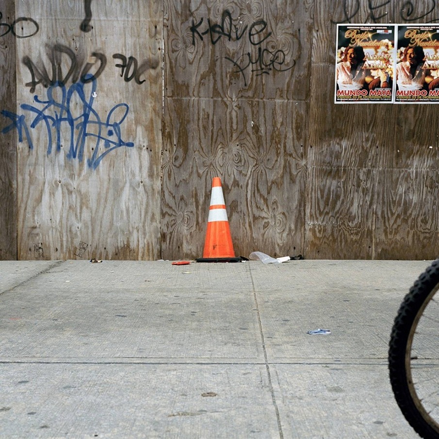
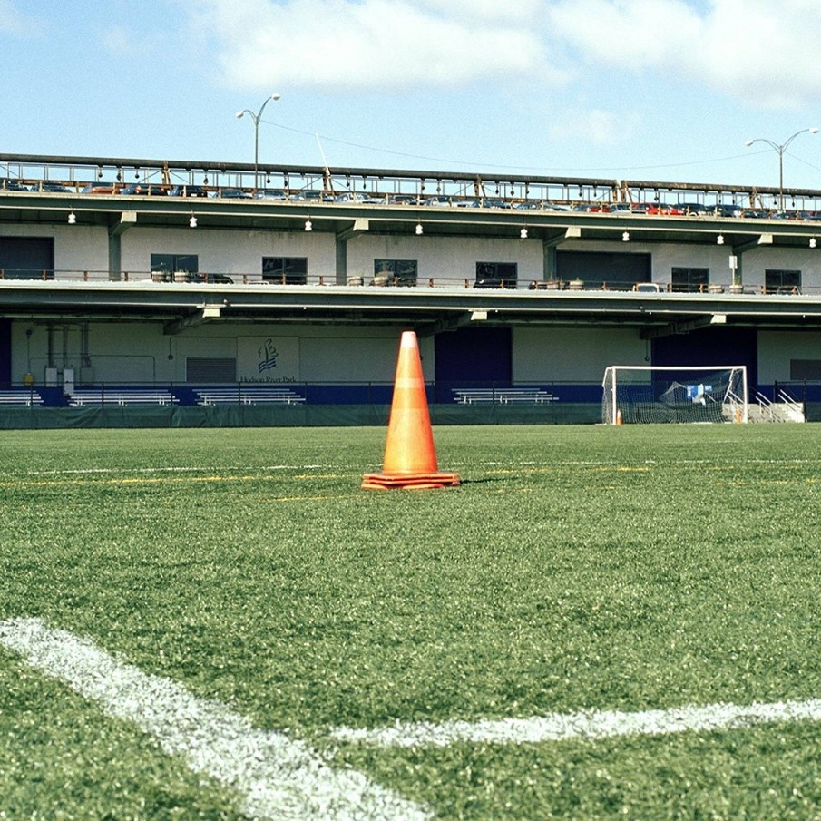
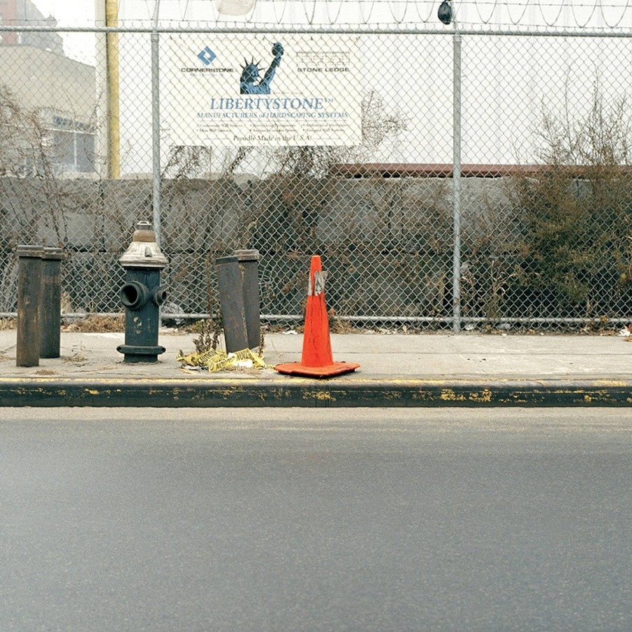
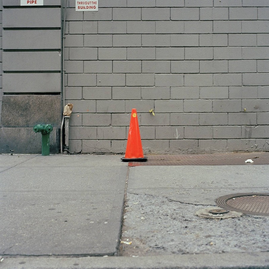
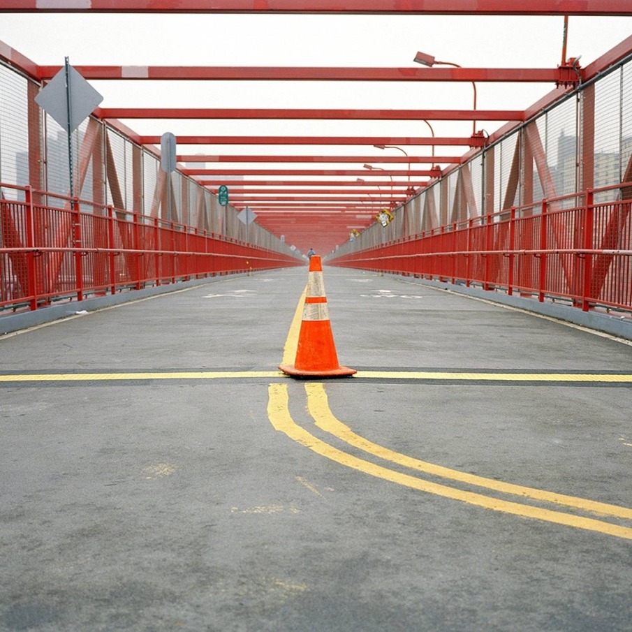
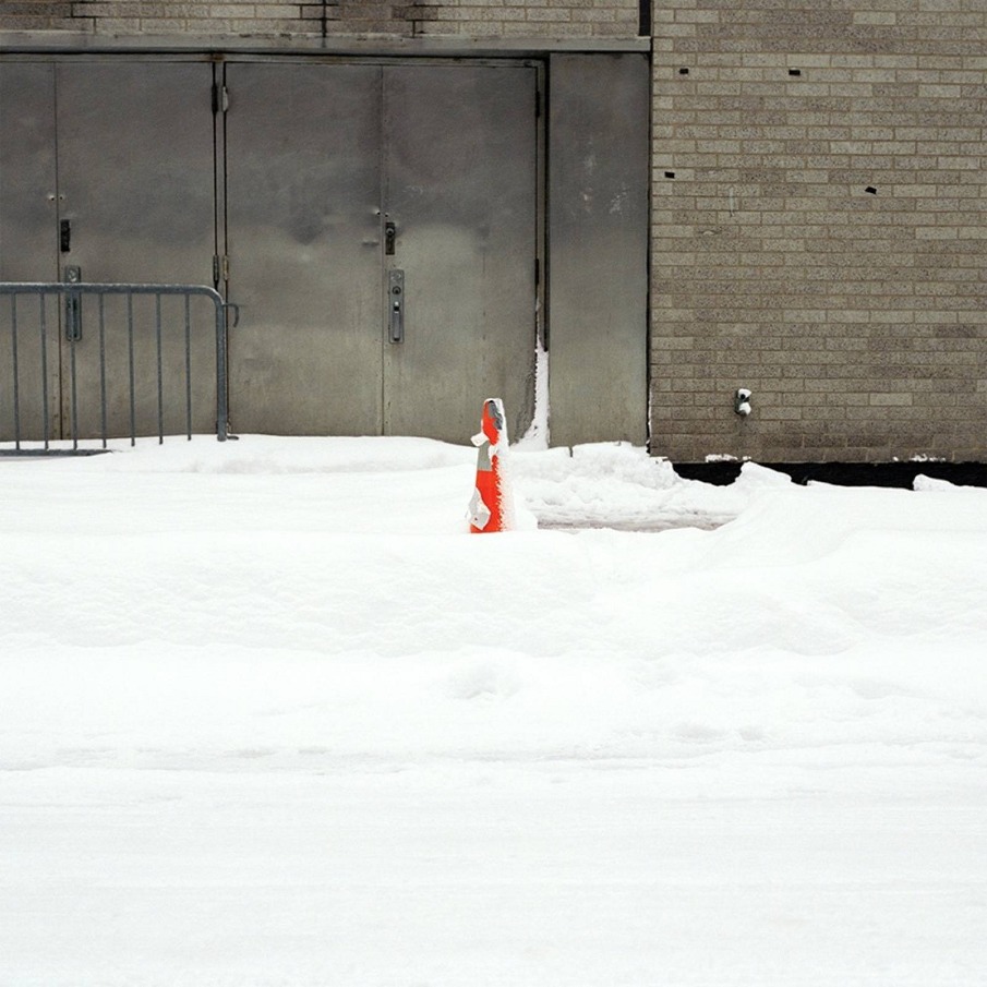
Photography is the ideal medium to communicate the details of daily public spaces and to archive everyday objects. “The archive as art” has a long history in photography and has inspired and captivated many, including myself, to catalog the world in an objective way.
This project is an aesthetic arrangement of a banal, everyday object, the traffic cone.
I’m exploring how the camera can frame, and thus order within the given space, reality to evoke comparison on a formal level, with an aesthetic dimension.
Ideally, the images are arranged in a gird, which helps direct, immediate comparison among the motifs. It serves to invite the viewer to compare the forms and designs of the cones as well as formal aspects of the spaces.
The cones are photographed as found; none is touched, moved or relocated. 
This series is an ongoing project, continuing worldwide, since traffic cones are used universally.

This project is an aesthetic arrangement of a banal, everyday object, the traffic cone, as found in constructed urban, public spaces.

Technical notes: 
Year: 2005 - ongoing
Material: C-41, archival inkjet print
Size: 10 x 10 in. and 13 x 13 in. (ca. 25.5 x 25.5 cm and 33 x 33 cm)

Contact
ancheb@yahoo.com


ADAM COULTER: PINHOLE GEOMETRY


ADAM COULTER: PINHOLE GEOMETRY

scopio aboveground: city

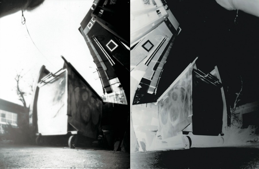
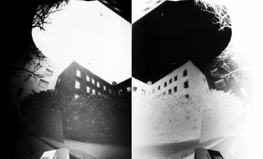
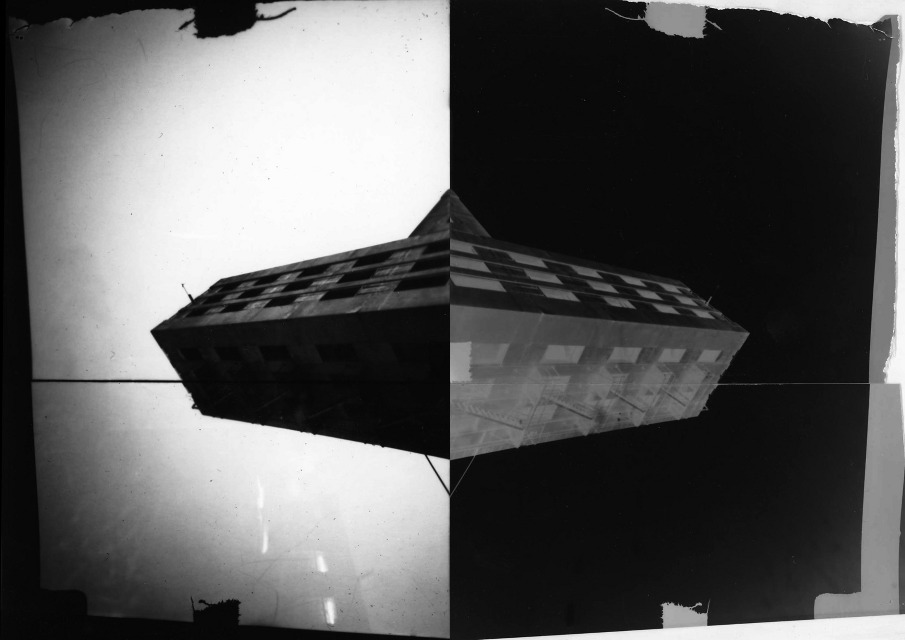
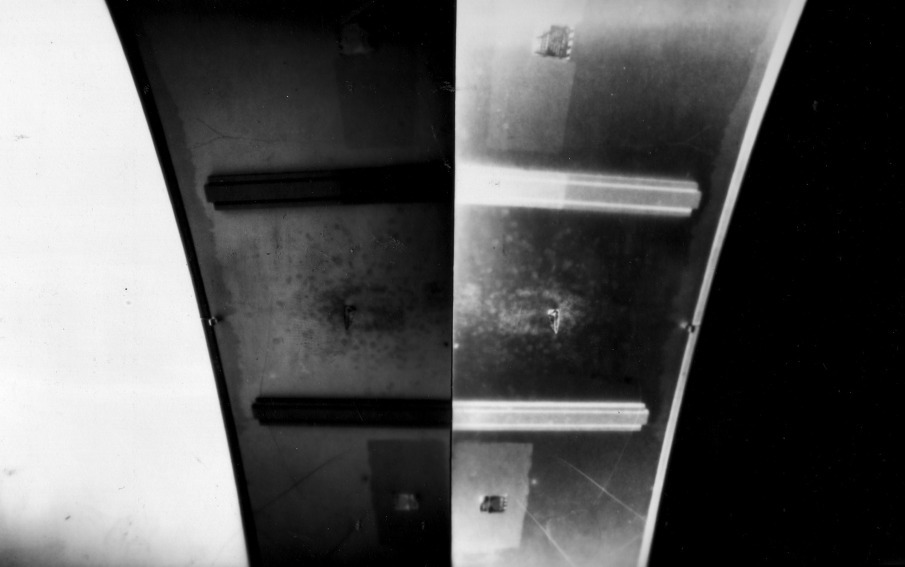
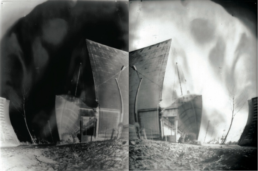
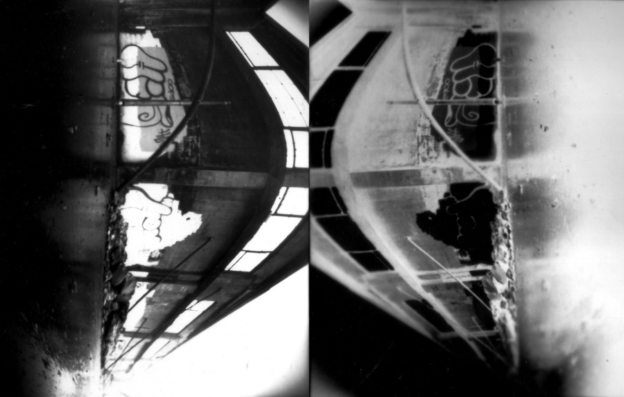
After developing several pinhole images of decaying urban buildings with both flat and curved back cameras, I began to realize an exciting, new geometry that became evident when the negative and positive prints were pressed together. 
Cycling around portland, oregon with a backpack full of home made cameras, collecting urban images to develop in my basement. 


Technical notes / Colophon

The pinhole cameras were all homemade using primarily recycled cardboard or aluminum, black spray paint and gaffers tape.


Contact
adamcoulter@hotmail.com
 

JOÃO PAULO CALVET: PRESENÇA


JOÃO PAULO CALVET: PRESENÇA

scopio aboveground: city

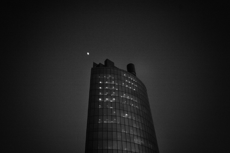
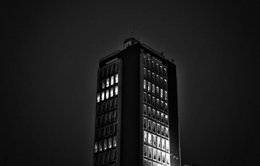
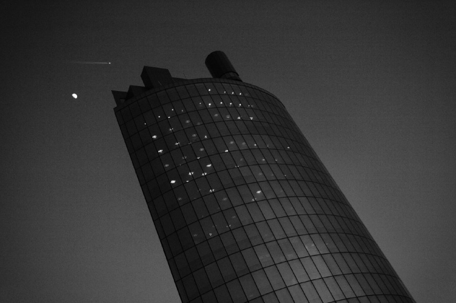
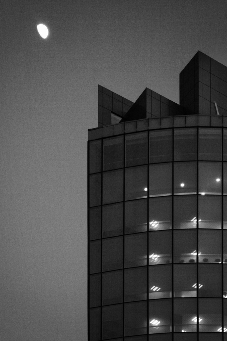
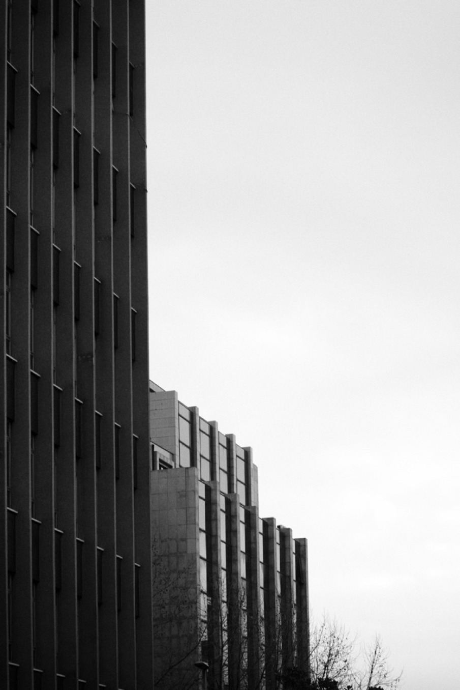
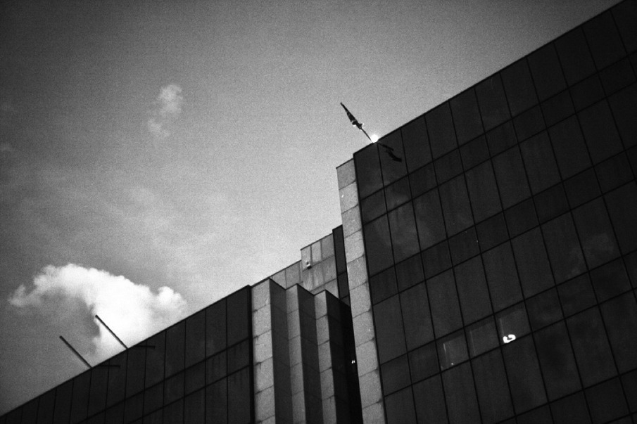
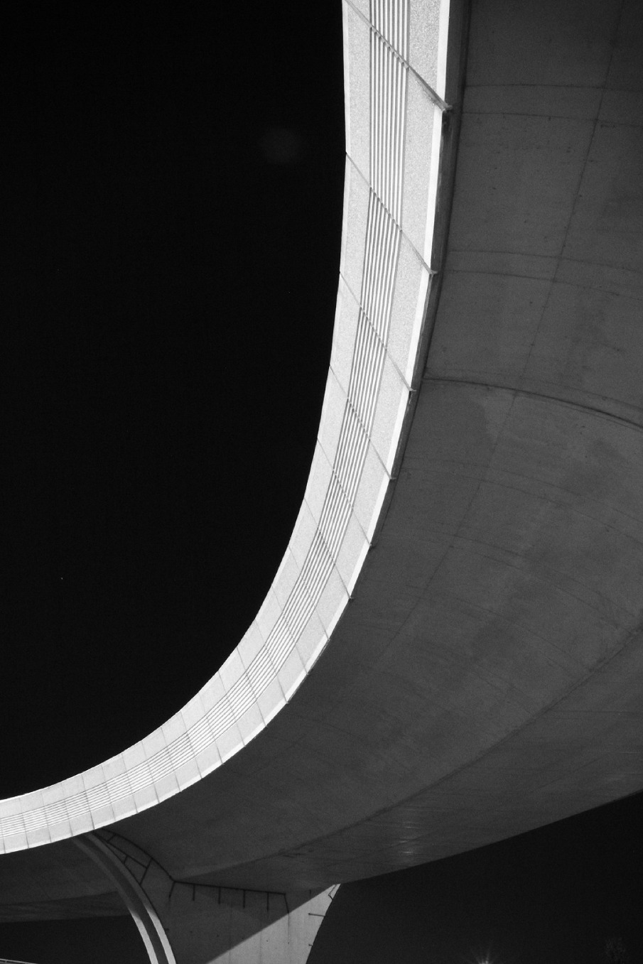
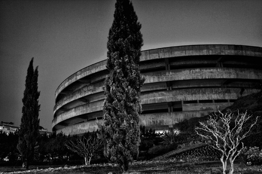
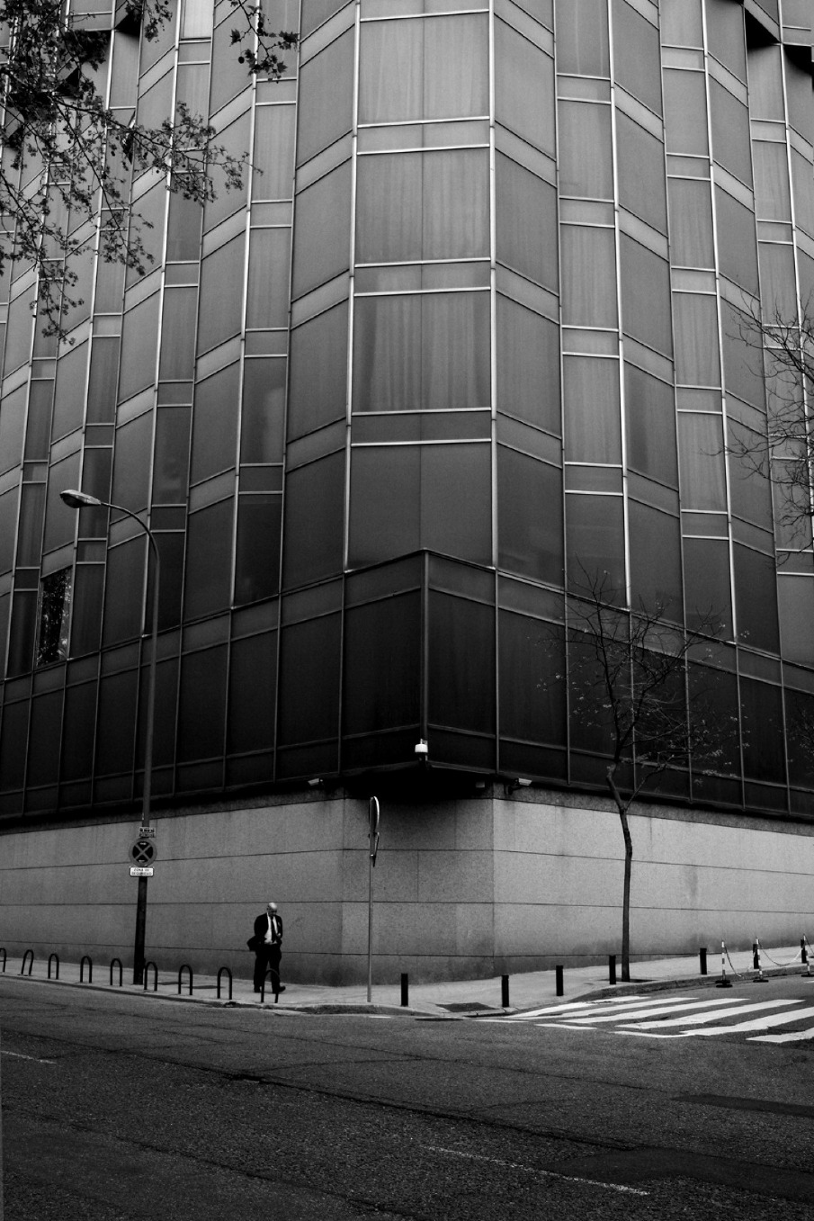
O conjunto das imagens apresentadas agem como conjunto pelo facto de achar que a arquitectura urbana pode, e deve, ser tratada pela fotografia ao mesmo tempo como um "instantâneo" e como fotografia de "paisagem" -­‐ afinal de contas ela é a paisagem urbana.
Foram captadas de dia e á noite porque ela está lá sempre. Presente. Daí ter optado pelo aspecto granulado dado ás imagens, como se dum instantâneo fotojornalístico se tratasse. E também porque a arquitectura, quer se queira quer não (e disto os fotógrafos bem o sabem) é também ela uma personagem, um motivo.
Este aspecto gráfico serve também á coerência do conjunto e elemento unificador das imagens do mesmo. O mesmo se passa com a opção do preto e branco, tonificante do aspecto gráfico da própria arquitectura e agente volumétrico da mesma. Decidi apenas incluir a figura humana numa delas porque afinal de contas o projecto debruçar-­‐se-­‐ia sobre a Arquitecura. Esta figura humana aparece aqui apenas como um apontamento de "cumplicidade", se assim o quisermos chamar, com a arquitectura.

Technical notes

Fotografia Digital,
Canon 400d


JOÃO PEREIRO DE SOUSA: IN BETWEEN


JOÃO PEREIRO DE SOUSA: IN BETWEEN

scopio aboveground: city


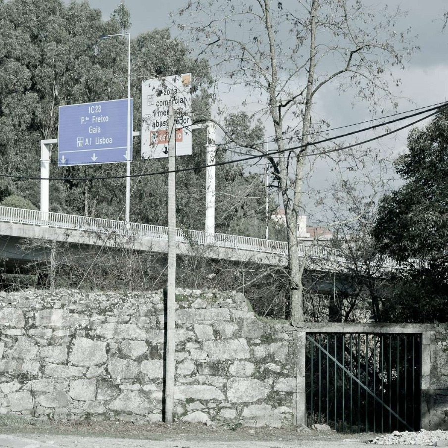
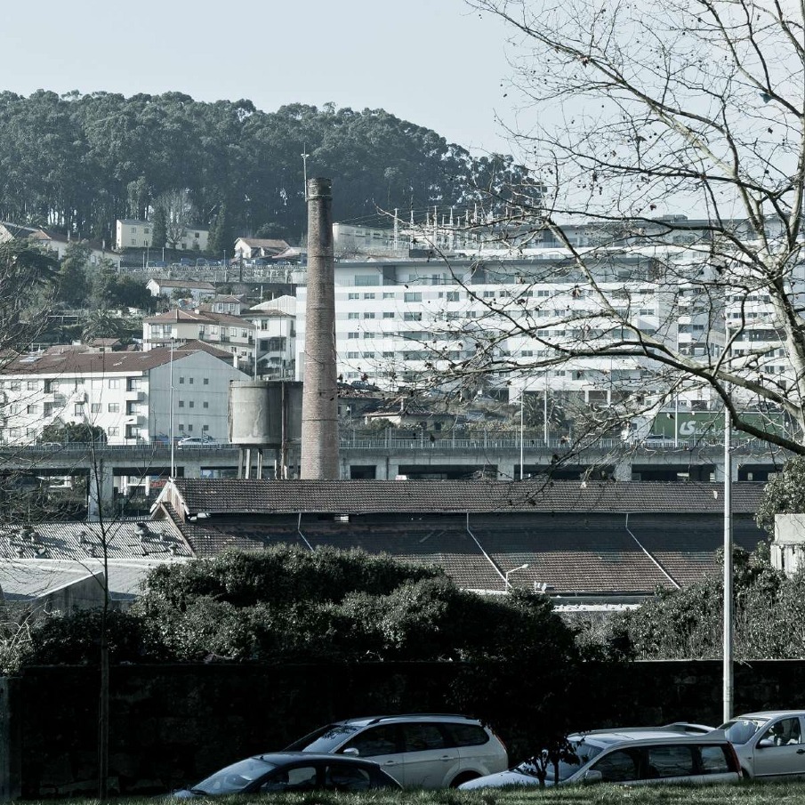
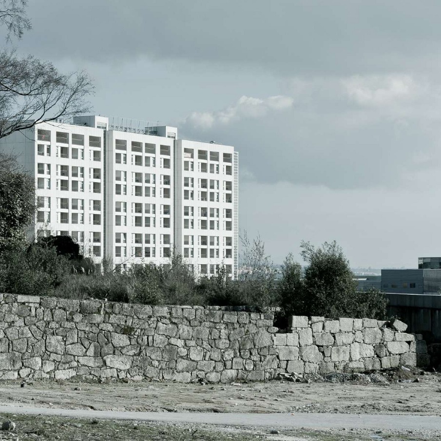
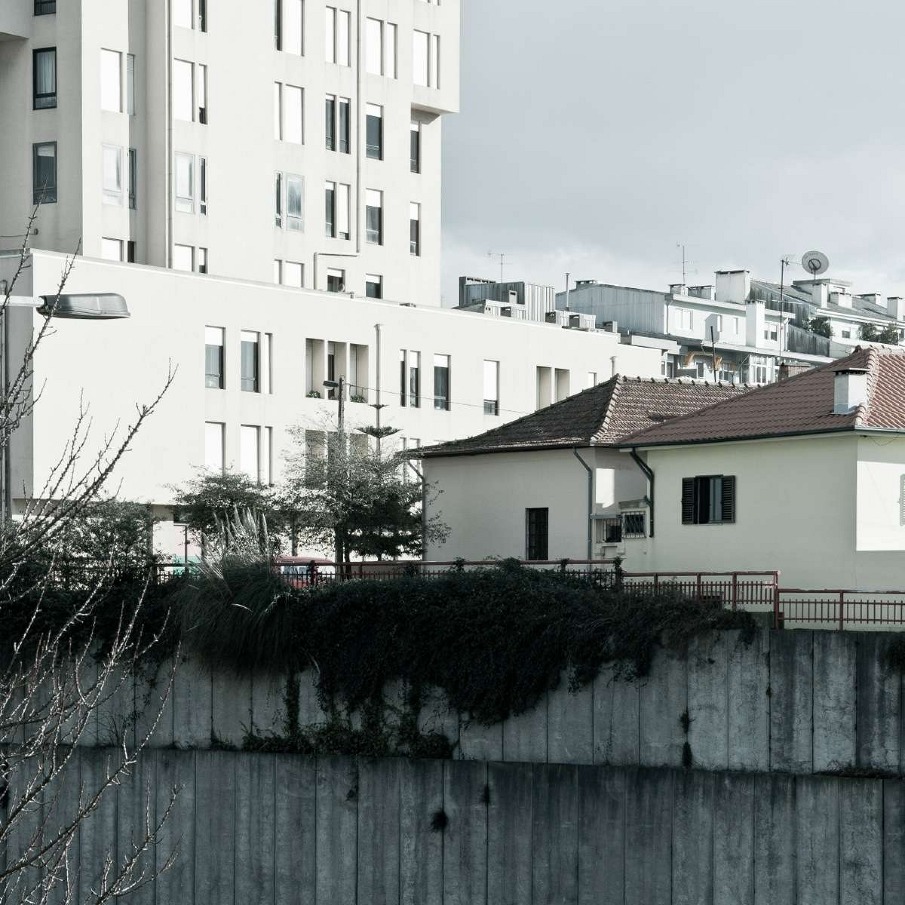
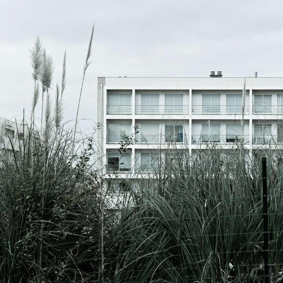
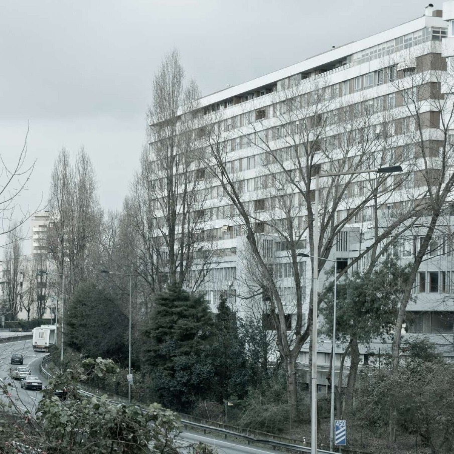
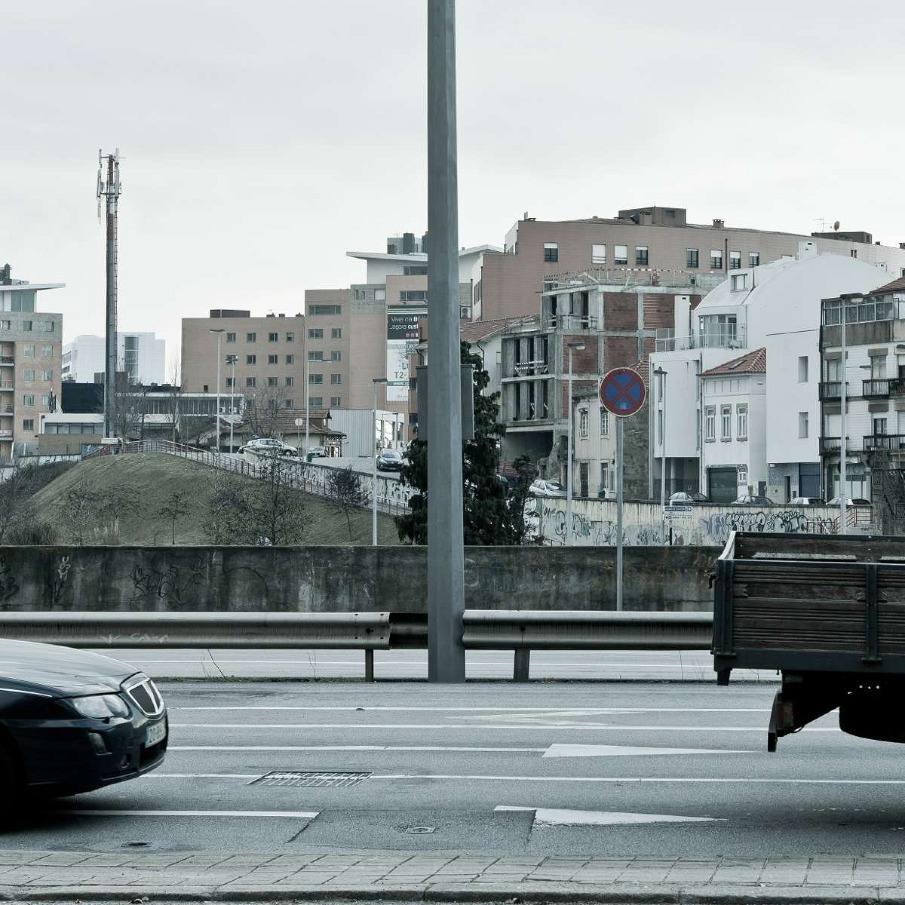
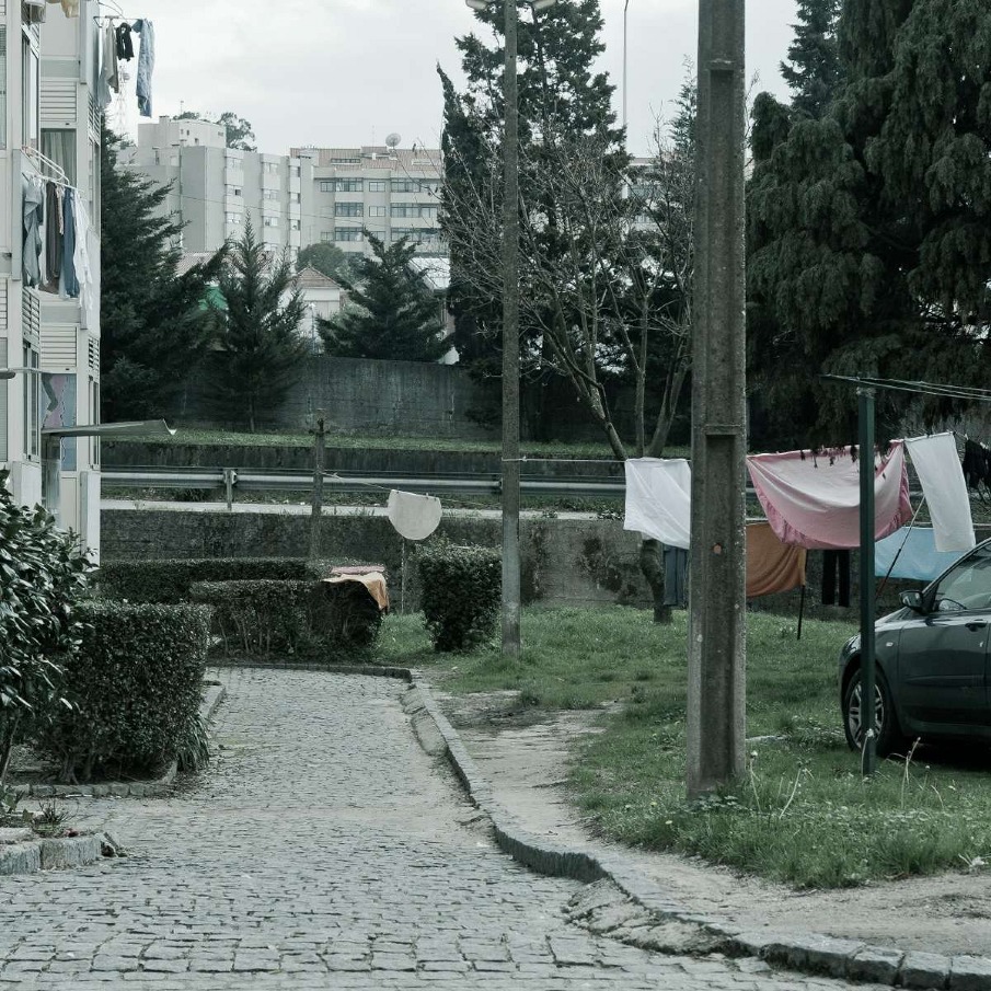
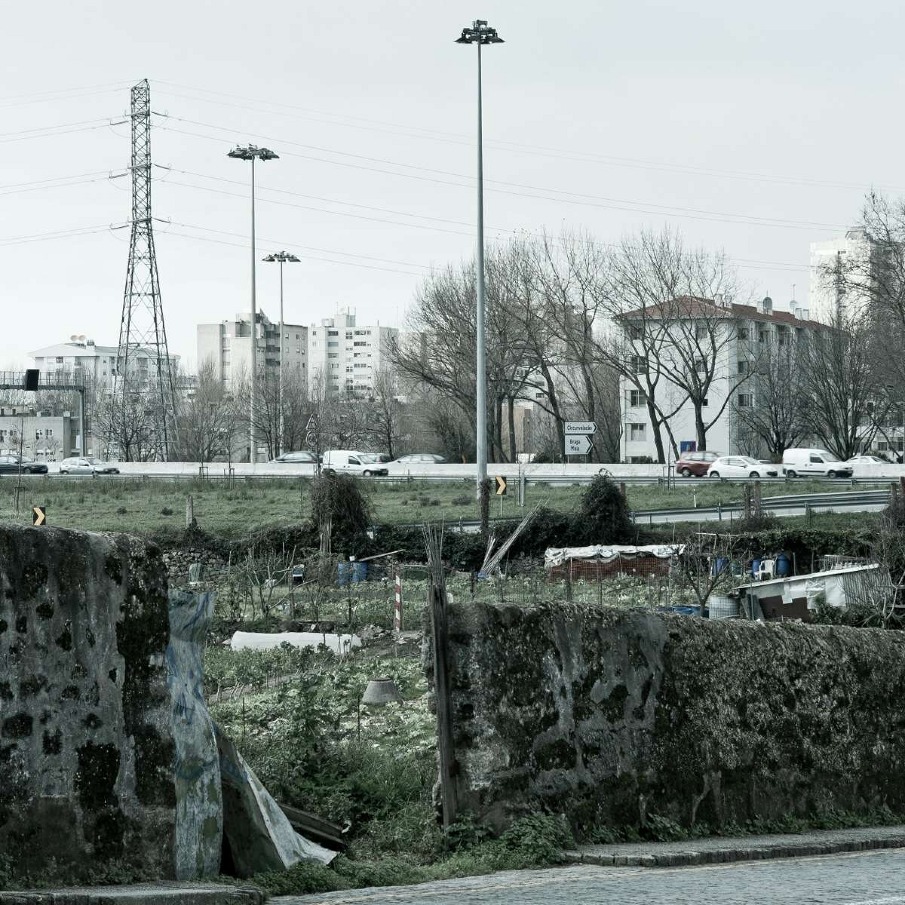
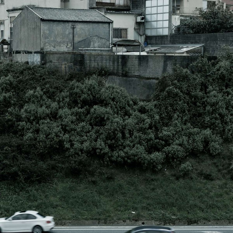
VCI is a life-long romance between the city of Oporto and its fellow citizens. It began its construction in 1963 and half a century later, in 2007 it was finally finished in its whole extension of 21km. In Portuguese VCI stands for Via da Cintura Interna or Inner Ring Road and it also means faster access to the whole city or a great way to connect the city with the national Motorways. But in reality VCI stands for city struggle, urban voids, and headaches to the everyday traveller. 
All in all, VCI is a life-long problem that the city of Oporto faces since it was first planned. The urban knife-cut that it generates is extremely visible along its extension and even after 48 years of existence, the city has not been capable of absorbing it and healing the wounds it inflicted.
This series of ten photographs intend to reveal the amount of cities within a city that clearly exist along VCI. The photographs are arranged in couples, looking from a viewpoint through the road and towards the city behind it. Every photograph represents the city of Oporto and they clearly reveal two opposite realities: the inner side of the road (odd numbers) and its outer side (even numbers). But despite our common sense, these two realities can merge together into a new reality. Because they all live with the same neighbouring road and within the same limbo. 
It is urgent to act and to resolve the problems that lie along this road. In the future the city will need to put an end to this long distance romance and to rejoin its better half in order to live happily ever after.

Every photograph represents the city of Oporto and they clearly reveal two opposite realities: the inner side of VCI (odd numbers) and its outer side (even numbers).


Technical notes
João Pereira de Sousa
10 Untitled photographs from series "in between", 2011
60 x 60 cm
Digital Print, Fine Art Hahnemühle paper

Contact
hello@joaopereiradesousa.com


RICARDO JORGE MENDES COSTA RUÍZ: TORRE DE GLASGOW


RICARDO JORGE MENDES COSTA RUÍZ: TORRE DE GLASGOW

scopio aboveground: city

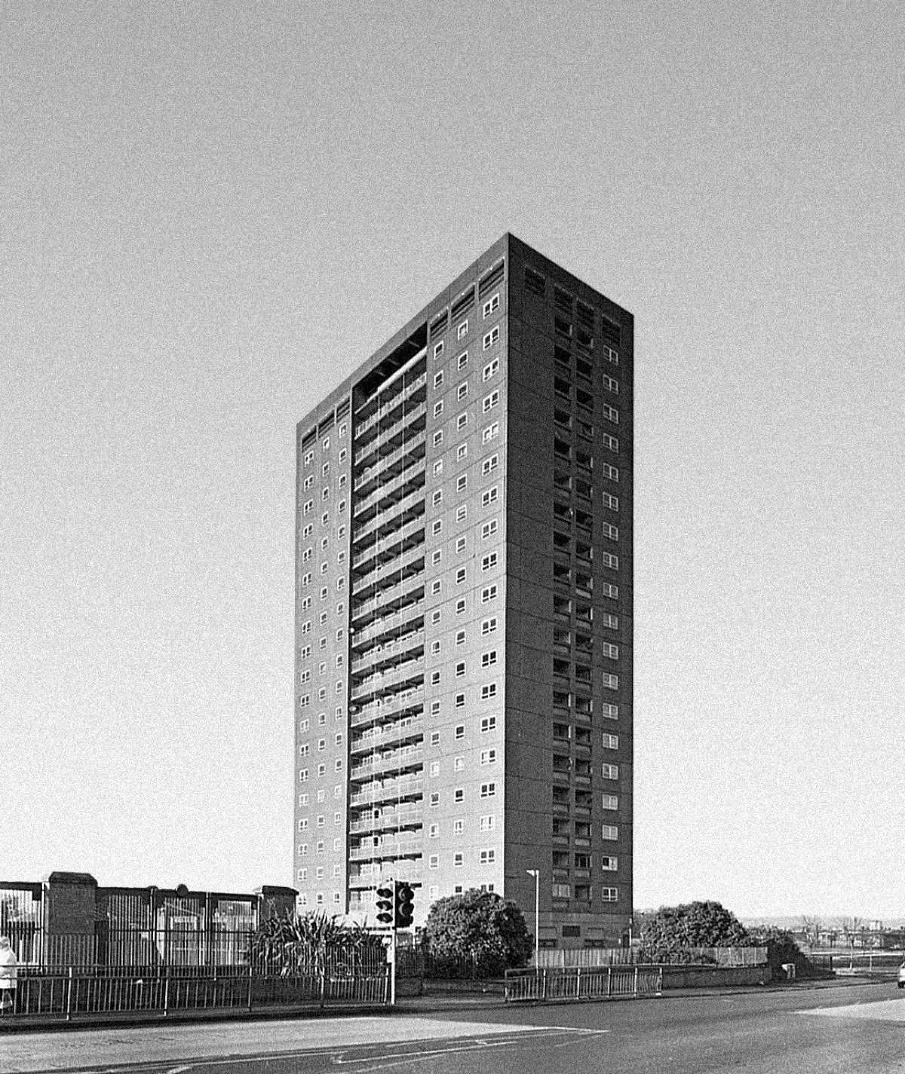
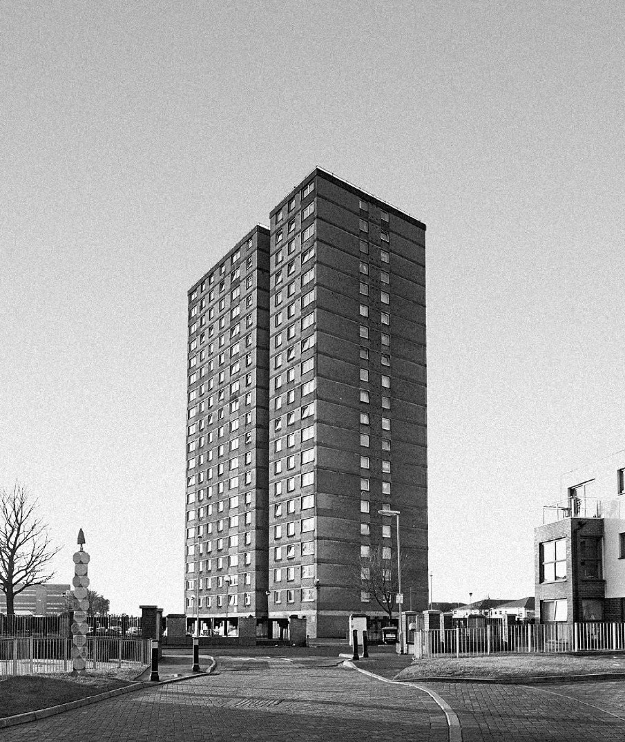
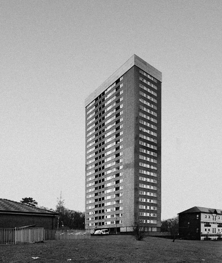
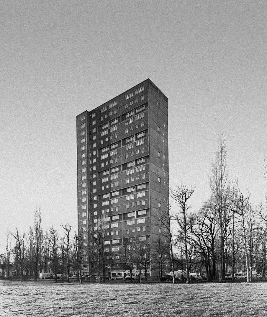
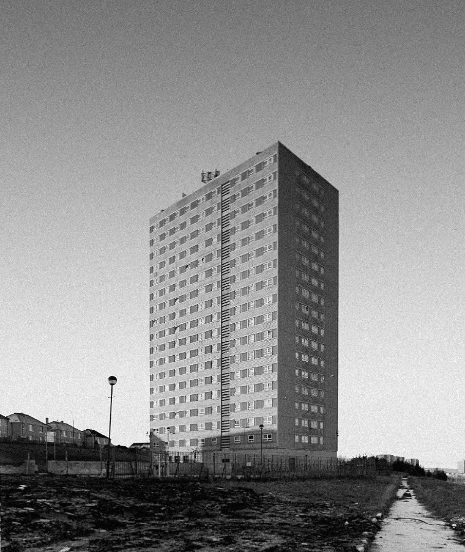
Este trabalho nasceu da vontade de retratar um aspecto da realidade urbana da cidade de Glasgow, condenada ao esquecimento.

Começarei por assinalar a importância da Tipologia na fotografia como ferramenta social e histórica. A tipologia é um método valioso para quem procura uma abordagem séria, consistente e objectiva, sendo aplicável a virtualmente todo o objecto de estudo, desde que seja passível de sistematização. 

Este projecto, apesar da sua orientação estética que lhe confere uma forte carga de subjectividade, pretende no fundo ter um papel de registo histórico e documental, ajudando na preservação da memória de uma realidade urbana em extinção. Estes edifícios aqui retratados estão já a dar lugar a um tecido urbano renovado e mais sustentável.
Foi esta vertente documental que me levou a procurar uma linguagem tipológica, de coerência na forma e composição das imagens, limitando a imaginação do observador, sugerindo antes que se concentre na forma e contexto espacial dos edifícios.
A linguagem formal desta série de imagens é uma reverbação daquela presente na obra dos Bechers, Frank Breuer e Henry Wessel – a posição da objectiva é absolutamente premeditada e metódica, favorecendo a estrutura em detrimento do estilo. Trata-se portanto de um projecto “hibrido”, onde se mistura tipologia fotográfica com manipulação digital da imagem. Toda a paisagem urbana tem uma história para contar. Histórias que nascem das aspirações, das estratégias e das necessidades de um povo. Ora, muitas vezes, quando as histórias nascem de uma necessidade, necessidade essa premente, a obra final pode não ser algo de que um povo se orgulhe. Quando assim acontece, condena-se a história ao esquecimento.A paisagem urbana de Glasgow, Escócia, abunda em histórias que o seu povo prefere esquecer, histórias de um povo em crise.Após a Segunda Guerra Mundial, Glasgow, era uma cidade destroçada com dezenas de milhares de pessoas sem casa e uma economia paralisada. É neste contexto que nasce a história das torres camarárias (schemes) de Glasgow. Um legado urbano de quatro décadas de crise ecómica, crime e marginalização.

Hoje Glasgow é uma cidade renovada e as suas torres condenadas ao abandono e à demolição.


Tehnical notes
Máquina: Sinar grande formatoLente: 90 mm
Filme: 5x4” ILFORD HP5 PLUS 400
Captura:
Foto 1 – f/11;1/250
Foto 2 – f/11;1/250
Foto 3 – f/11;1/125
Foto 4 – f/11;1/125
Foto 5 – f/11;1/125

Contact
ricardojorgeruiz@gmail.com
 

ORLI PEREL NIR: FAIR SVETLANA


ORLI PEREL NIR: FAIR SVETLANA

scopio aboveground: territory


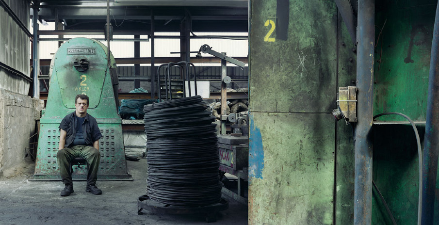
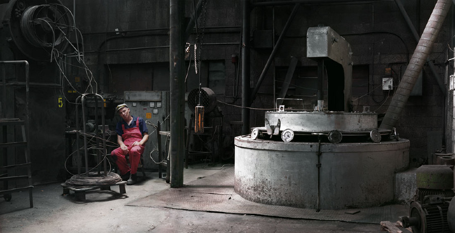
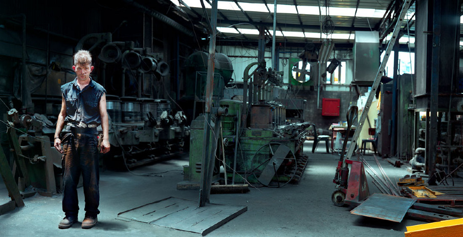
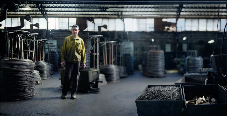
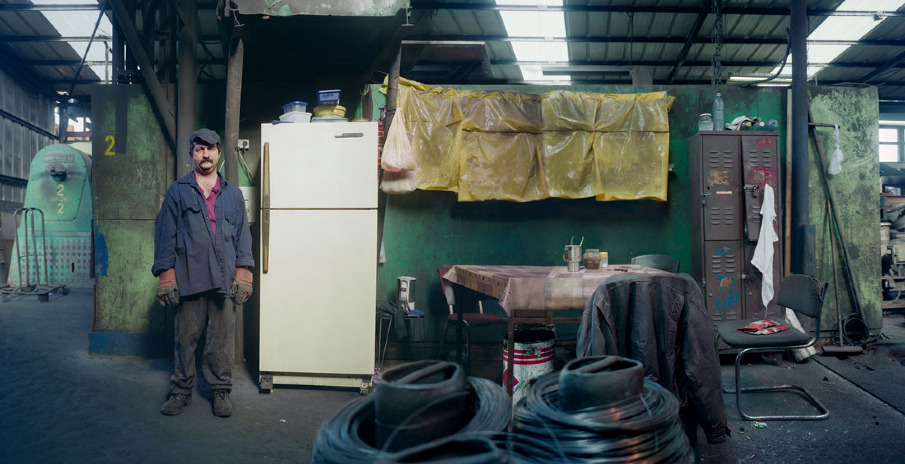
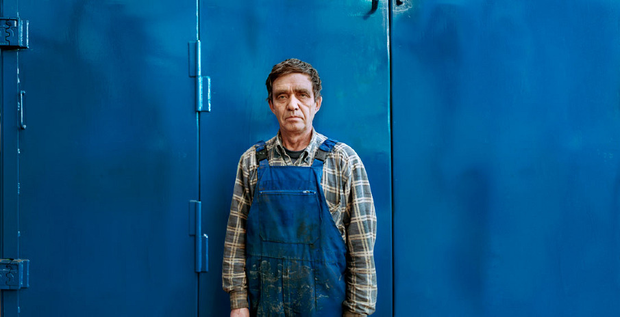
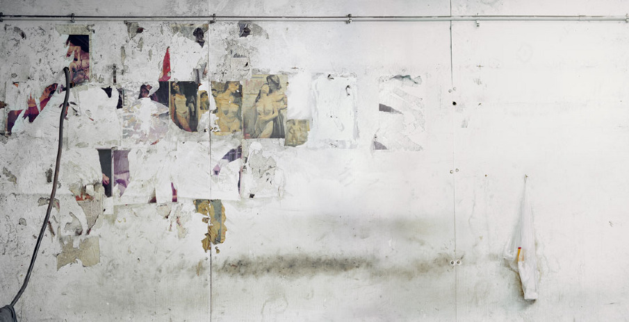
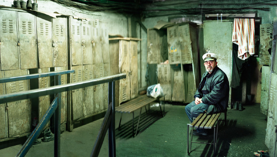
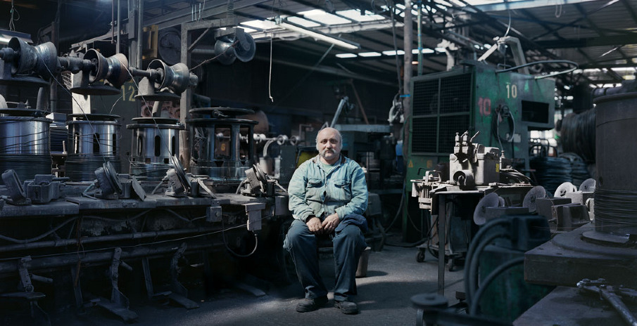
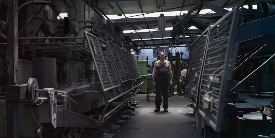
Fair Svetlana is a series of portraits (77x150 cm) that were pictured in an old metal factor that seems to belong to a far and strange place in which time stood still. The series touches the human aspect – manhood, dreams, disappointments, normality vs. abnormality and what lies between them, while trying to take off all the masks and protections from the figure in this short meeting with my camera.
Fair Svetlana was pictured using a 4x5 format, and was done with a unique technique that enabled multiple focus planes in each image, by that I was able to blend the figure with its surroundings, obscuring the dominance of the solitude masculine figure in the scene. Governing the furnaces and the metal wires and nails doesn’t add these man power, the opposite is true, it leaves them with dubious honor fragile despite the rough facial expressions.
The subjects were picked carefully and were staged like puppets on a theater stage; all were pictured directly, individually and with no glamour, becoming a part of the view, merging into it.
The way the subjects were posed, the space in which they were staged, the monochromatic colors and clothing, all create an artificial atmosphere, making the figures a bit non-human as if they belong to another world – both new and old.
The series travels between contrast edges – darkness and light, private and public, voyeurism and documentary.
The name - Fair Svetlana, ties up together threads between two realities, the first being imaginary and desolate and the second being concrete.
Hidden political, cultural, sentimental and social connections are reflected in every portrait.
Fair Svetlana was exhibited internationally since 2010 and was awarded the first prize on the 7th Warsaw festival of Art photography in Poland 2011.

Contact
orlipn1@gmail.com
 

ALNIS STAKLE: NOT EVEN SOMETHING


ALNIS STAKLE: NOT EVEN SOMETHING

scopio aboveground: territory

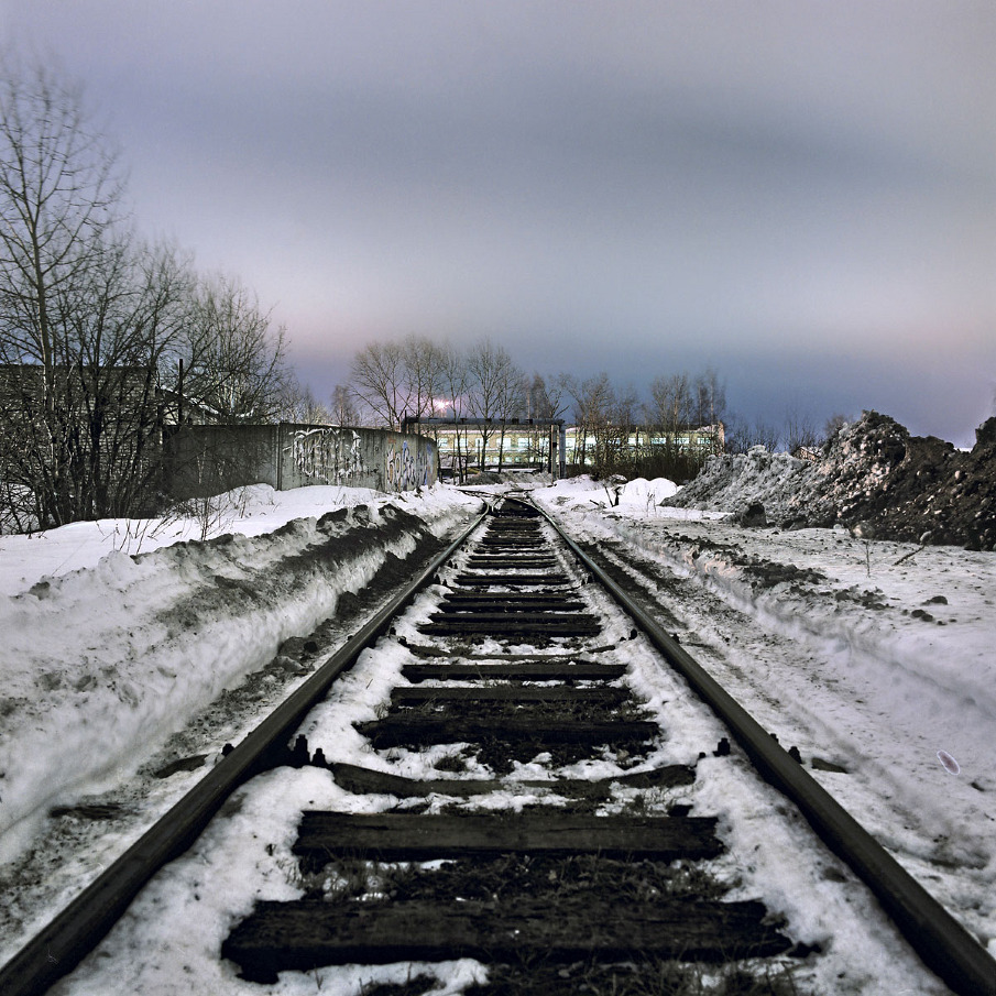
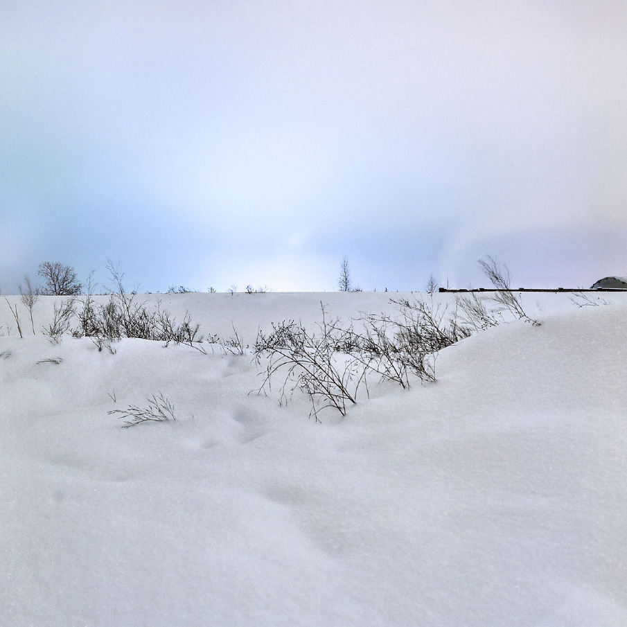
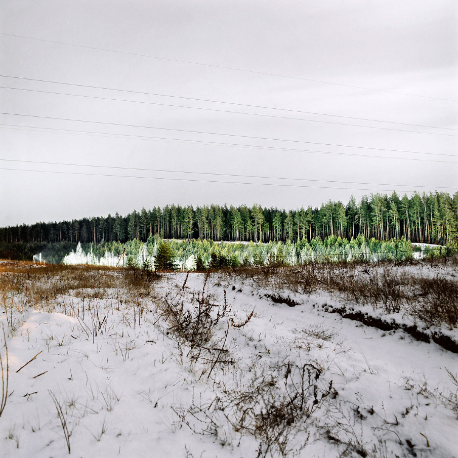
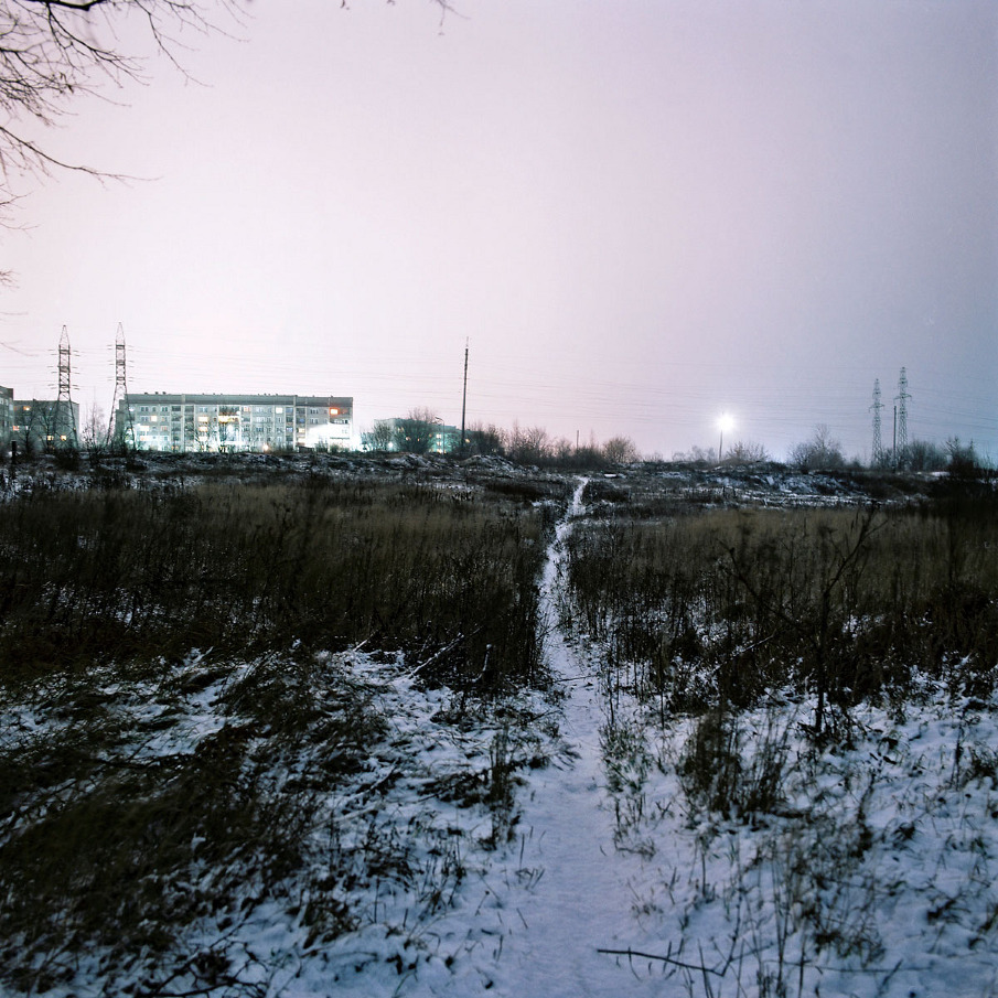
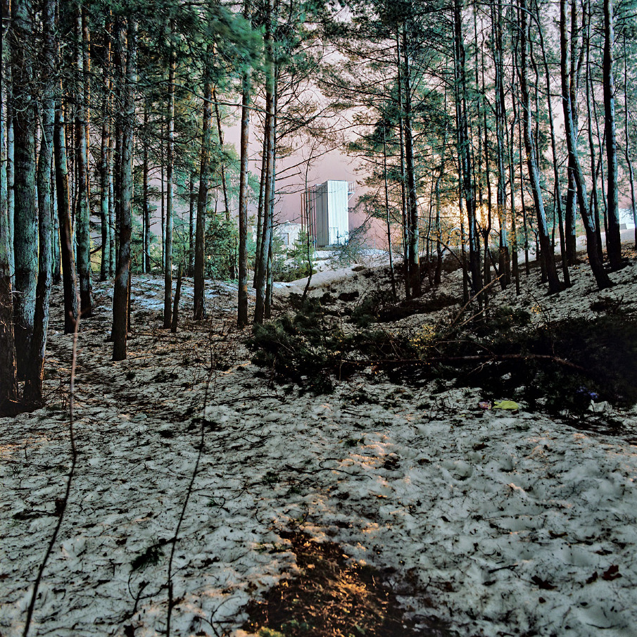
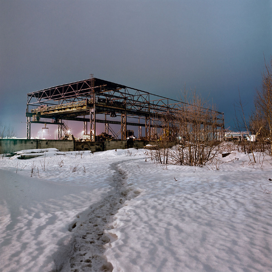
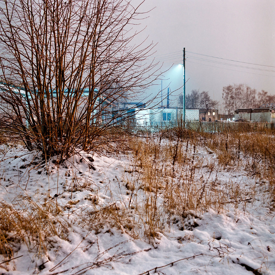
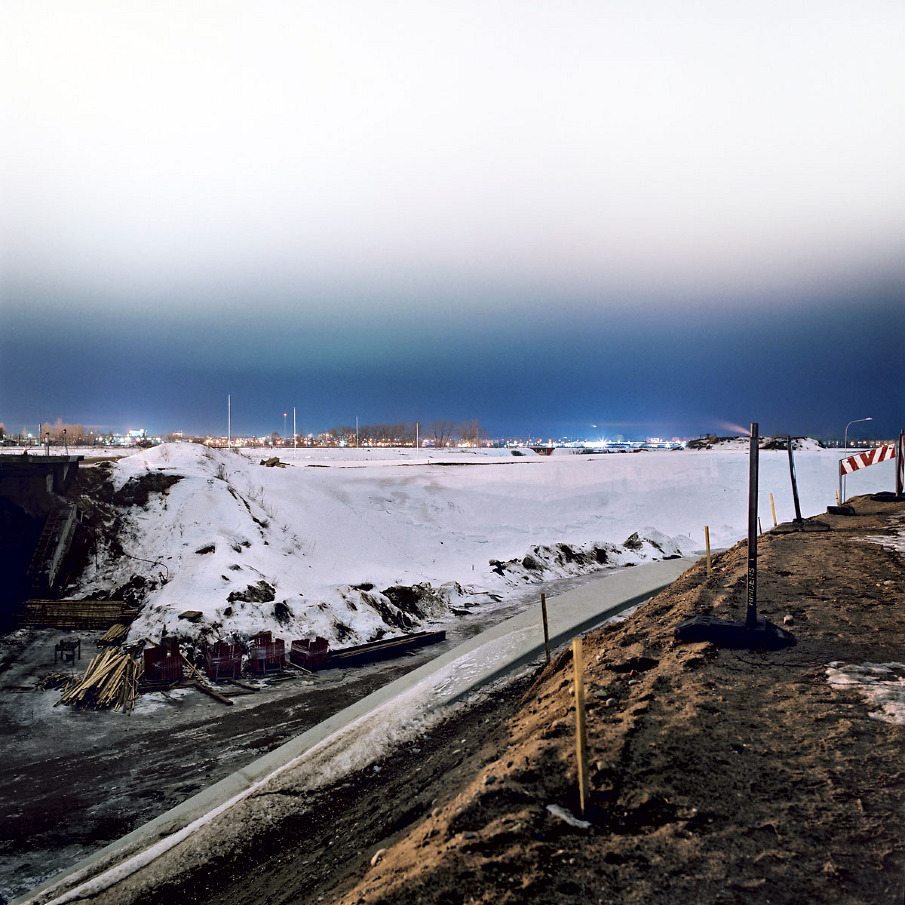
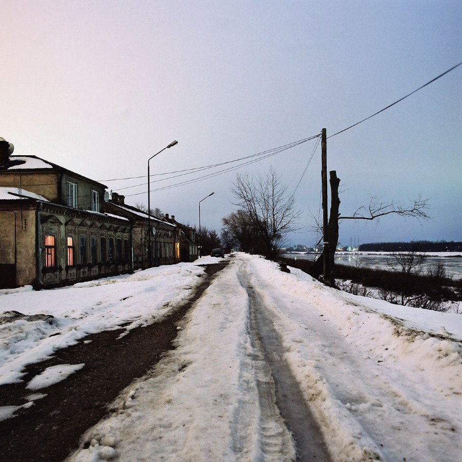
A project explore interstices which located between meaningful urban areas of the city and themselves remain in the field of the insignificant and inessential.
Historically cities are divided into areas, and the identity of each area is characterised by some peculiar features. For instance, industrial areas, housing areas, central areas, banking areas, etc. Each of these has its own identity, and people choose to visit or avoid them with a specific purpose. These urban areas are joined by interstices which do not perform any significant functions in the urban environment, but just exist and thus, with their very senselessness, fill the emptiness between meaningful urban areas.
Even though these interstices cover small territories, they are always intended for traversing rather than staying. No one wishes to linger there, because they are an intermediate between home and work, between one living space and another, between you and me, etc. These spaces are located between the meaningful and the meaningful, and themselves remain in the field of the insignificant and inessential. These are the places where we feel no desire to be in just like that, because with their aura of insignificance they not only make us feel as outsiders, but even “push” us away. 
Come nights, and these interstices transform into seemingly dangerous areas in the city – poorly lighted, with bad roads – places where one is not likely to encounter a police patrol but rather be accosted by a pack of stray dogs or stumble across a gang of youths from the nearest housing area. Oftentimes, police reports feature these places as criminal sites.
My intention was to explore these interstices. It was important for me that the photographs be taken on winter nights, because it is ostensibly the most unpleasant and dangerous time for being there. On occasions there was so little light at the moment of photographing that I had to literally feel my way around. Yet the photographs produce an effect of being taken at daytime. Before I started photographing, I had imagined the pictures would bear at least the slightest traces of the menacing and inhospitable essence of interstice. Yet I discovered that in the photographs the interstice cityscapes acquire the qualities characteristic for the romanticist tradition in landscape painting. 

Technical notes
The Images captured with medium format analog camera, scanned and printed as archival pigment ink prints on rag paper 40 x 40”.


Contact
alnisstakle@yahoo.com


BOAZ AHARONOVITCH: GERMANY 1945-2008


BOAZ AHARONOVITCH: GERMANY 1945-2008

scopio aboveground: territory (winner)

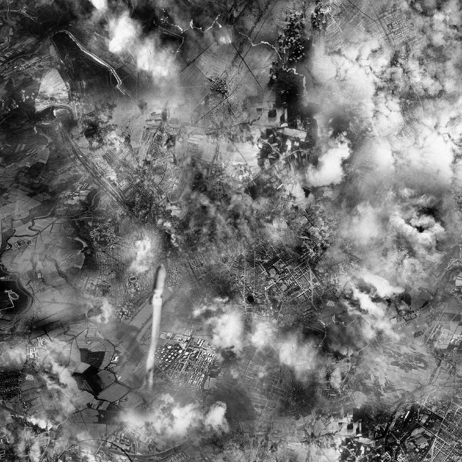
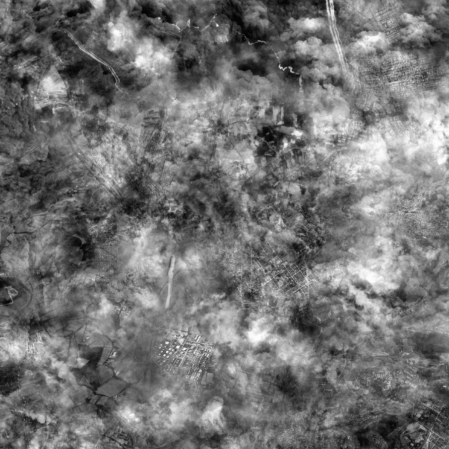
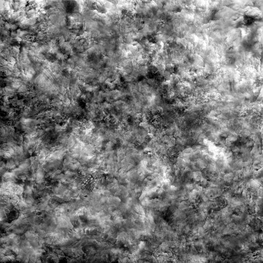
A US Air force navigator during World War 2 photographs a bomb falling from his plane onto a populated area. I took single snapshot, this “decisive moment”, and stretched it into an imaginary continuum. Germany of the 1940s is conflated with images of contemporary Germany taken in 2007. The bomb falls, smoke covers the city. Historical documentation is transformed into fiction. Yet perhaps this fictional dimension was there from the very beginning, for the original photograph was already rooted in a form of historical fiction, in a false narrative of otherness that juxtaposed “here” and “there”, “now” and “then”, “us” and “them”. In this work, these dichotomies begin to dissolve. “Then” and “now” are fused. The image of the bomb hitting a populated area becomes an image of all bombs – past, present and future. The image of distraction is an image of all distraction. And facing this distraction is a desperate attempt to overcome the camera’s inability to simultaneously hold “then” and “now”, its failure to capture the recurrent pattern, the historical dimension, and the “human condition”.
Germany of the 1940s is conflated with images of contemporary Germany taken in 2007. “Then” and “now” are fused.

Technical notes
Year of Production: 2008

Dimensions: Variable
Technical description: The work assembles archival material from the bombing of the American air forces on German civilians at the end of World War II, with current digital footage that I took when flying over Germany in 2007.

Contact
boazaha@gmail.com
 

JOÃO MARGALHA: TERRAIN VAGUE


JOÃO MARGALHA: TERRAIN VAGUE

scopio aboveground: territory (h. mention)


Terrain Vague consiste num conjunto de fotografias de fotografias tomadas em sítios devolutos de onde, previamente, foram retirados os objectos que se encontram pousados sobre elas. 

As fotografias “originais” apresentam-se na escala 1:1 e foram tiradas na vertical, como se o Google Earth tivesse subitamente aumentado a sua resolução, ao ponto de poder coincidir com o próprio território. 
Desta forma, o trabalho procura reflectir sobre a capacidade de percepção do visível e elevar os níveis de atenção para com o espaço real, olhando para os seus interstícios como valiosas zonas de resistência a uma prática urbanística hegemónica e arrogante.

01 - 40º 38’ 29,90’’N; 8º 38’ 34,59’’W
02 - 40º 38’ 22,77’’N; 8º 38’ 48,56’’W
03 - 40º 38’ 21,08’’N; 8º 38’ 46,00’’W
04 - 40º 38’ 57,55’’N; 8º 38’ 48,10’’W
05 - 40º 38’ 33,55’’N; 8º 38’ 34,36’’W
06 - 40º 38’ 58,28’’N; 8º 38’ 47,32’’W
07 - 40º 38’ 20,82’’N; 8º 38’ 46,25’’W
08 - 40º 38’ 30,04’’N; 8º 38’ 33,34’’W
08 - 40º 38’ 55,83’’N; 8º 38’ 24,39’’W
10 - 40º 38’ 21,80’’N; 8º 38’ 46,29’’W

Technical notes

Impressão jacto de tinta sobre papel Epson Premium Luster 260 coladas em PVC 5mm
Dimensões: 60 x 76,5 cm
Ano: 2012
Edição: 3+PA


Contact

jm@joaomargalha.com


TITO MOURAZ: OPEN SPACE OFFICE


TITO MOURAZ: OPEN SPACE OFFICE

scopio aboveground: territory

The series presented here was shot in Portugal over a 2-year period and represents a transformed landscape that portrays the existence of Man as a constructive, reconstructive and contemplative being. The landscape appears completely and irreversibly transformed and it was this transformation that caught my eye and fueled my interest in conducting this project, basing it on this very landscape.
Thus, the work presented aims to portray a reality that suffers an ongoing daily process of rapid transformation. Therefore, the pictures show a temporary reality inserted in a natural landscape undergoing progressive transmutation. They are unique and imposing spaces with a undeniable visual impact which bestow on the images a strong formal and plastic content. I would like to emphasize that these were the aspects I concentrated on and attempted to visually portray the best that this intervention could present to the eye, both in relation to the formal configuration and in relation to the chromatic and lighting harmony that characterize these spaces that create a unique environment. In this way, we can behold a dialogue between Nature and Man’s action, between harmony in a texturized cutting and what develops in it, what involves and transforms it, as is particularly visible in the first images of this series, that portray the idea of an organic whole.
I find it difficult to transmit on film the personal experience and all that one feels and observes at these immense and torn sites, where silence is felt in an unnatural and intimidating way. It is a well know fact that an image cannot replace reality. That is why I chose to include parts of a hidden horizon or an incomplete landscape, in this way suggesting a different perspective, since the proximity to these sites which grow in the opposite direction to what is normal, are usually unobserved by the spectator almost giving them the chance to rebuild them.

Contact
titomouraz@gmail.com
 

HABITAT: XAVIER DELORY


HABITAT, 2006-08 | XAVIER DELORY

scopio aboveground: territory


Our countryside (in Belgium as well as in a many other western countries) is mono-polized by one specific type of houses called ‘clé sur porte’ (turnkey) (def: Urban prefab cluster of similar formsimplanted in the landscape without any effort of integration). 
The cycle ‘Habitat’ throws a look at this type of ‘architecture’. The concept of protection and stereotyped block is pushed to its extremes (similar to our withdrawal into on ourselves and our formated lifes)


Technical notes
Rolleiflex T - Model K8 T2. 
Lambda print mounted on aluminium thickness 1 mm (size +- 100*100cm)

Contact
info@xavierdelory.be


ATTILIO FIUMARELLA: SPOT ARCHITECTURE


ATTILIO FIUMARELLA: SPOT ARCHITECTURE

scopio aboveground: territory

O arquitecto italiano Cino Zucchi quando fala da cidade contemporânea e do território que vamos construindo fala de uma "cittá vista" e de uma "cittá vissuta".
Por uma parte temos um território que é fruto de mapas, redes, diagramas funcionais; da outra parte temos uma cidade como obra de arte ou como um conjunto (continuo ou menos) de cenografias urbanas.
O território em continua transformação é hoje o fruto do que foi deixado por quem nos antecedeu. Isso acontece também em uma memoria muito bem recente. A beira do post-industrial, são varias as cidades já marcadas pelas cicatrizes que a época da forte industrialização deixou.
È fácil, ao sair da cidade cruzar-se com autênticos monólitos abandonados. Signos do tempo passado mas que de qualquer forma ainda conseguem atrair a nossa atenção.
Objectos fora de escala espalhados por um território que as vezes só torna-se reconhecível pela presença destes marcadores.
O objecto dessa pesquisa então são os landmarks do post-industrial. 
Peças de arqueologia industrial, objectos que já perderam a própria função original, mas que podem tornar a viver sob outra luz.
As imagens apresentadas são um conjunto de quatro obras retratadas em toda a própria beleza estética. Vem apresentadas com uma profundidade de campo reduzida. 
Um efeito de desfoque do entorno procura ressaltar estes marcadores como objectos que habitam o território em uma nova escala. A escala destas peças já não é a mesma de 50 anos atrás. Hoje o mesmo território é percorrido de forma muito mais rápida, assim tudo torna-se relativamente mais pequeno, mesmo as torres e as grandes chaminés.

Contact
attiliofiumarella.pht@gmail.com
 

Tecido Urbano: Sérgio Rolando


TECIDO URBANO

DE SÉRGIO ROLANDO

scopio aboveground: territory

As cidade são conhecidas pela sua face, pela quantidade de ícones culturais que lhe dão expressão ao rosto. 
Existe uma outra cidade, comum a todas as outras, embora menos visível e em mutação constante. Territórios que se vão organizando em camadas sucessivas sem que a história lhes faça justiça.
Pretende aumentar o grau de compreensão em redor das motivações históricas, sociais, económicas e culturais que levaram á edificação e ocupação do espaço urbano na cidade de Matosinhos desde meados do séc. XX até à actualidade .
É uma tentativa de compreender esse espaço, as suas metamorfoses. É também um convite a olhar para além do visível, para a banalidade dos lugares comuns.
Estas fotografias representam um legado paisagístico assim como acentuam a noção de território como elemento vivo em constante mutação, sujeito à acção humana, suas migrações e necessidades.


Technical notes
Projecto realizado quer em digital quer em película médio formato (6 x 7), com película diapositivo, durante o ano de 2010 no concelho de Matosinhos. As imagens finais apresentam um tamanho de 85cm x 100cm.
Contact
http://www.sergiorolando.com/


Percursos Alternativos e Transversais no Porto

 
11.jpg

Percursos Alternativos


PERCURSOS ALTERNATIVOS

O projecto “Percursos Alternativos na AMP” pretende criar um conjunto de narrativas visuais em diversos suportes e também disponíveis na Internet para um público alargado, devendo a plataforma VSC servir como suporte para a comunicação de conteúdos sobre espaços e percursos alternativos em diversos territórios da AMP, procurando promover o debate e discussão em torno destes lugares, por vezes negligenciados ou desconhecidos, mas também ricos em vivências e formas de apropriação do espaço. Procura-se transmitir de forma criativa estes lugares, as suas pessoas e as suas dinâmicas, ou seja procura-se criar novas visões sobre o espaço público e uma nova compreensão desses espaços, procurando sempre que possível integrar a iniciativa local e os seus imaginários na sua construção.

Propõe-se, desta forma, uma estreita cooperação e ligação entre o projecto VSC, os actores locais e todos os outros grupos, instituições e pessoas interessadas em participar na construção destes percursos alternativos e transversais nos territórios da AMP. Pretende-se que este trabalho seja simultaneamente capaz de envolver os actores locais e possa contribuir para o envolvimento mais activo de sectores académicos, culturais e sociais em concepções e práticas inovadoras e interdisciplinares relacionadas com a imagem, o espaço da cidade, a sua arquitectura e as suas vivências, onde a fotografia está presente de forma significativa. Um projecto exploratório e uma narrativa visual poética de percurso que é também uma análise da paisagem urbana e dos estratos e relações sociais dos territórios retratados, podendo integrar no projecto de fotografia outros instrumentos como vídeo, gravação de som, desenho e/ou impressões em cadernos de viagem.